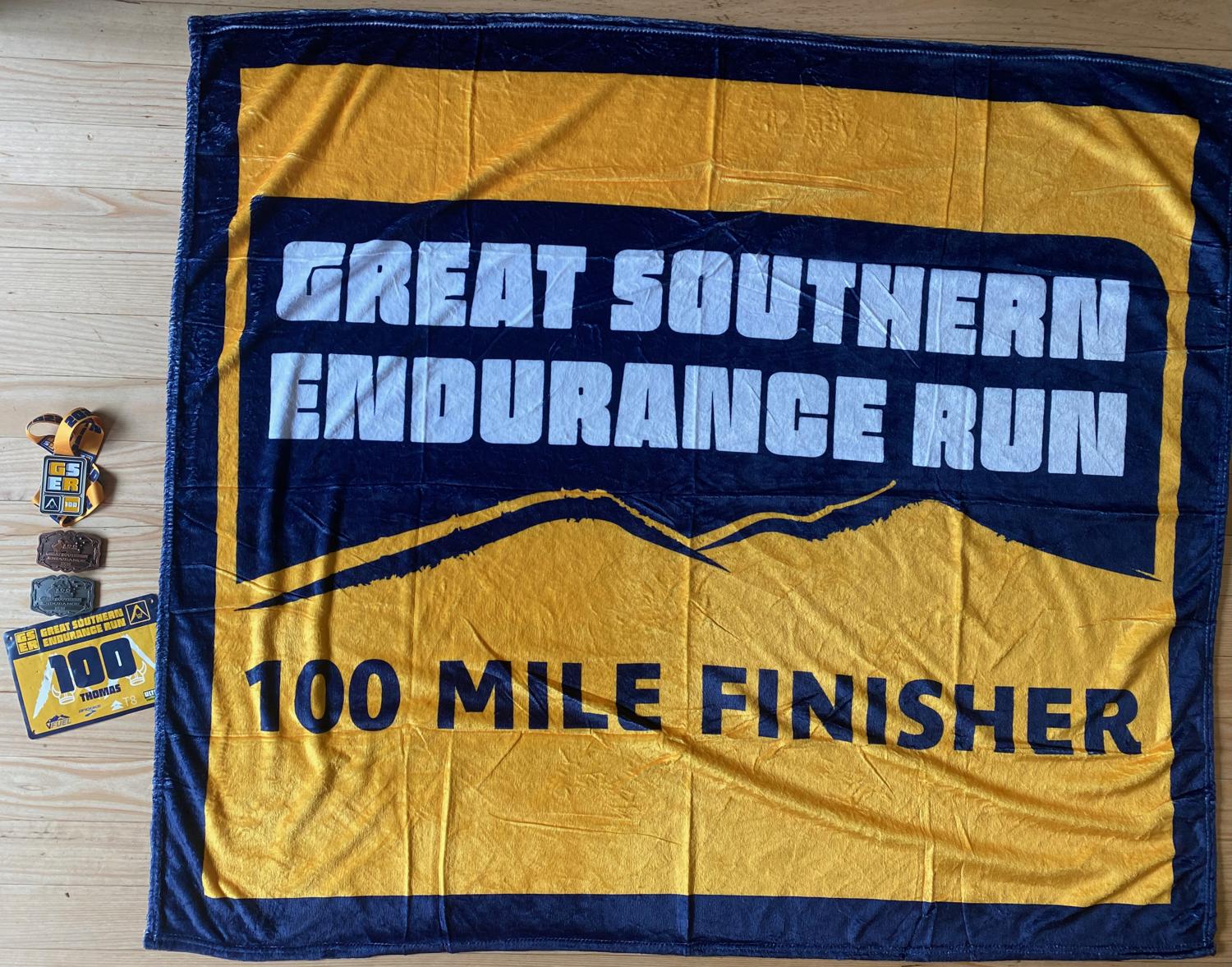
Race Report - Great Southern Endurance Run 100 Mile
A race report of the 2022 Great Southern Endurance Run (GSER) 100 mile event. Covering 161.8km with 10680m of elevation gain, this is a tough and beautiful course through the Victorian high country. Real grit shown by all athletes, supported by some truly amazing volunteers and supporters.
Back for redemption! I started this race in 2021, where severe weather forced a course change to be 6x loops of the 28km course. I DNF'd after 3x loops, after starting too fast, and deciding I just really didn't need to be out there for another 3x loops...
I still wanted to have a crack at GSER, however, so immediately signed up for the 2022 race. I was exceptionally happy with my training in the leadup to the race, as well as my attitude going into the race - intending to just go out and have fun, rather than turning it into some kind of insurmountable challenge.
The current GSER 100 Mile course is an out-and-back through the Victorian High Country. Starting and finishing in Harrietville, it first summits Mt. Feathertop before heading out along the Australian Alps Walking Trail (AAWT), through some spectacular Australian alpine country, reaching a turnaround point at the summit of a peak called The Viking, before retracing the course and descending back into Harrietville via a slightly different track.
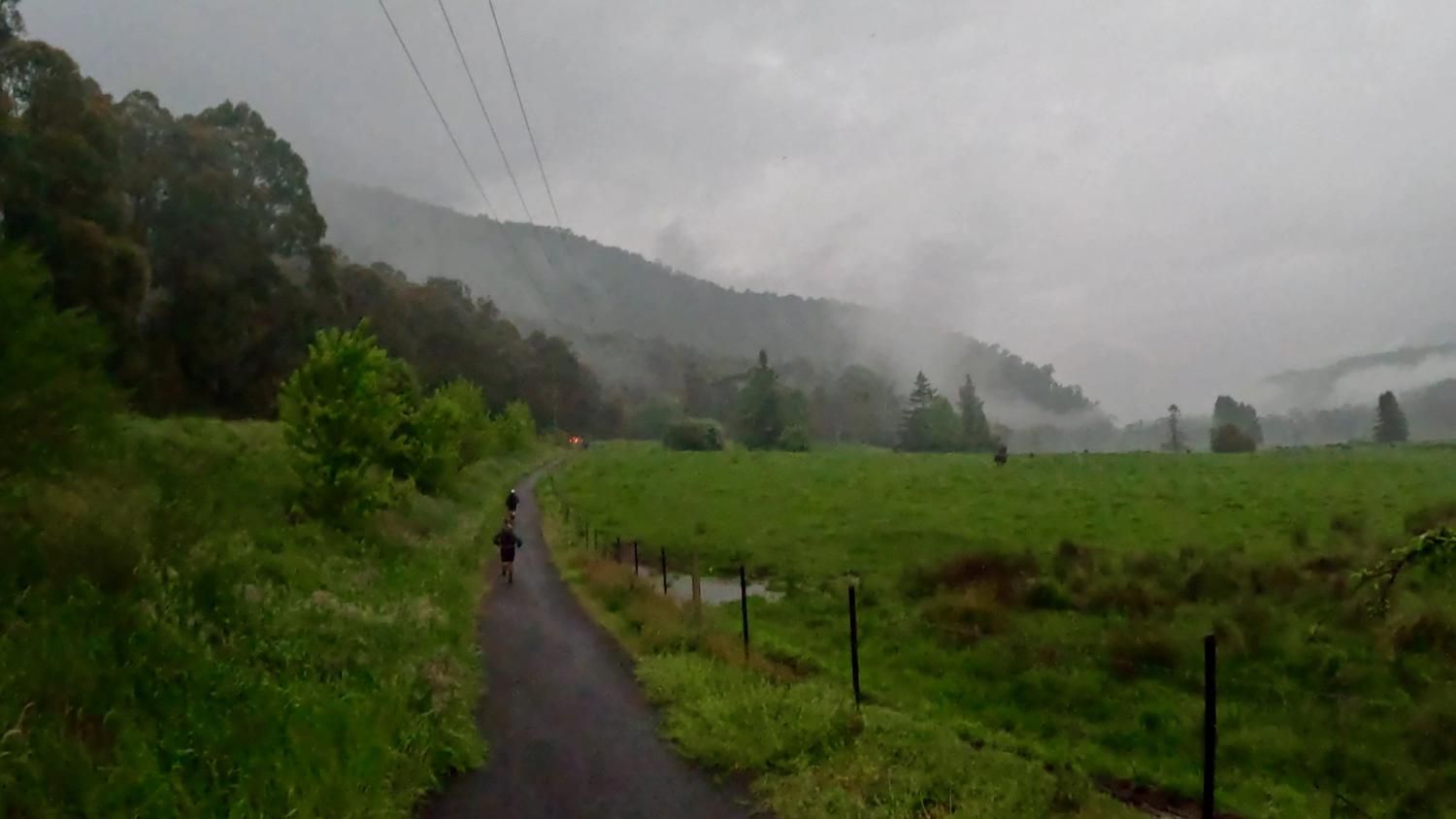
At 6AM on the Friday morning, in what seems to be typical GSER fashion, the race started in the pouring rain. The first 5km of the course (dubbed the "Harrietville Parkrun") is a cruisy 5km on a gentle downhill slope through Harrietville and down to a trout farm. This in the pouring rain, dodging puddles all the way.
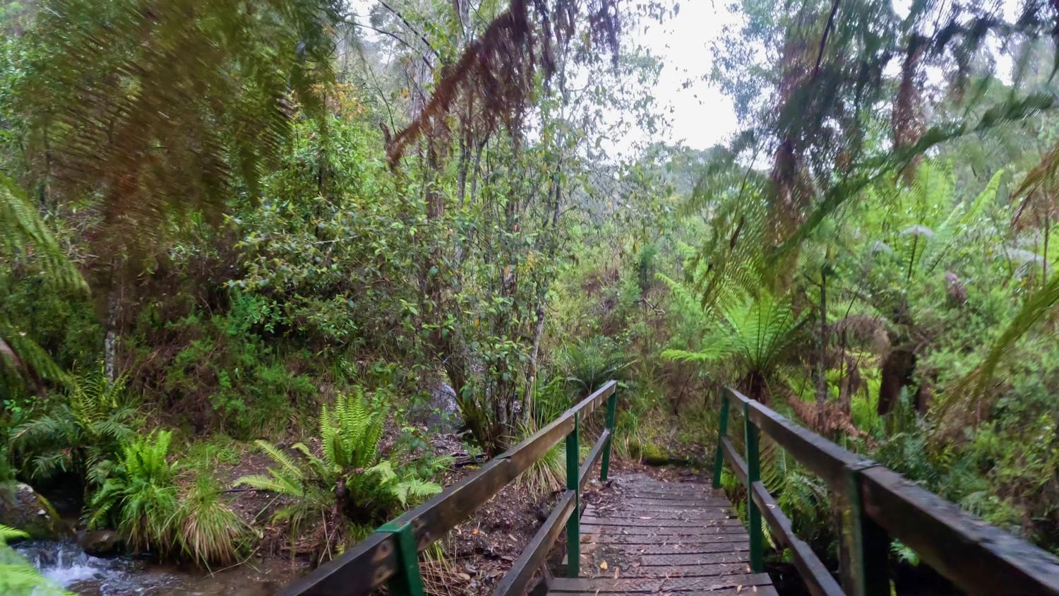
From the end of the track at the trout farm, the course jumps onto the Tom Kneen track; a track that undulates for a few kilometres, with a few flowy sections, before crossing the raging Stony Creek via a log bridge to start the climb up the Northwest Spur.
The Northwest Spur is one hell of a climb where you gain a vertical kilometer over just a few kilometers to the small clearing where MUMC hut sits.
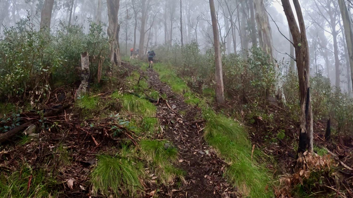
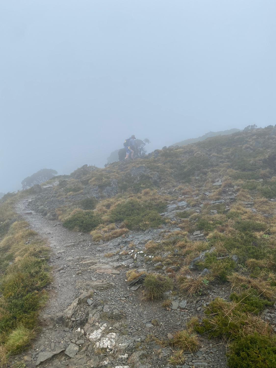
My intention was to be very, very conservative right from the start and in particular up this first hill - I figured if I was passing anyone, I was going too fast; and I was quite happy to stand aside and let people pass me. I was already feeling better about this year, as cruising past MUMC hut I felt like the climb wasn't nearly as strenuous as I remember. Passing the hut, the track then undulates until it heads off slightly below the ridgeline to the intersection with the track up to the top of Mount Feathertop.
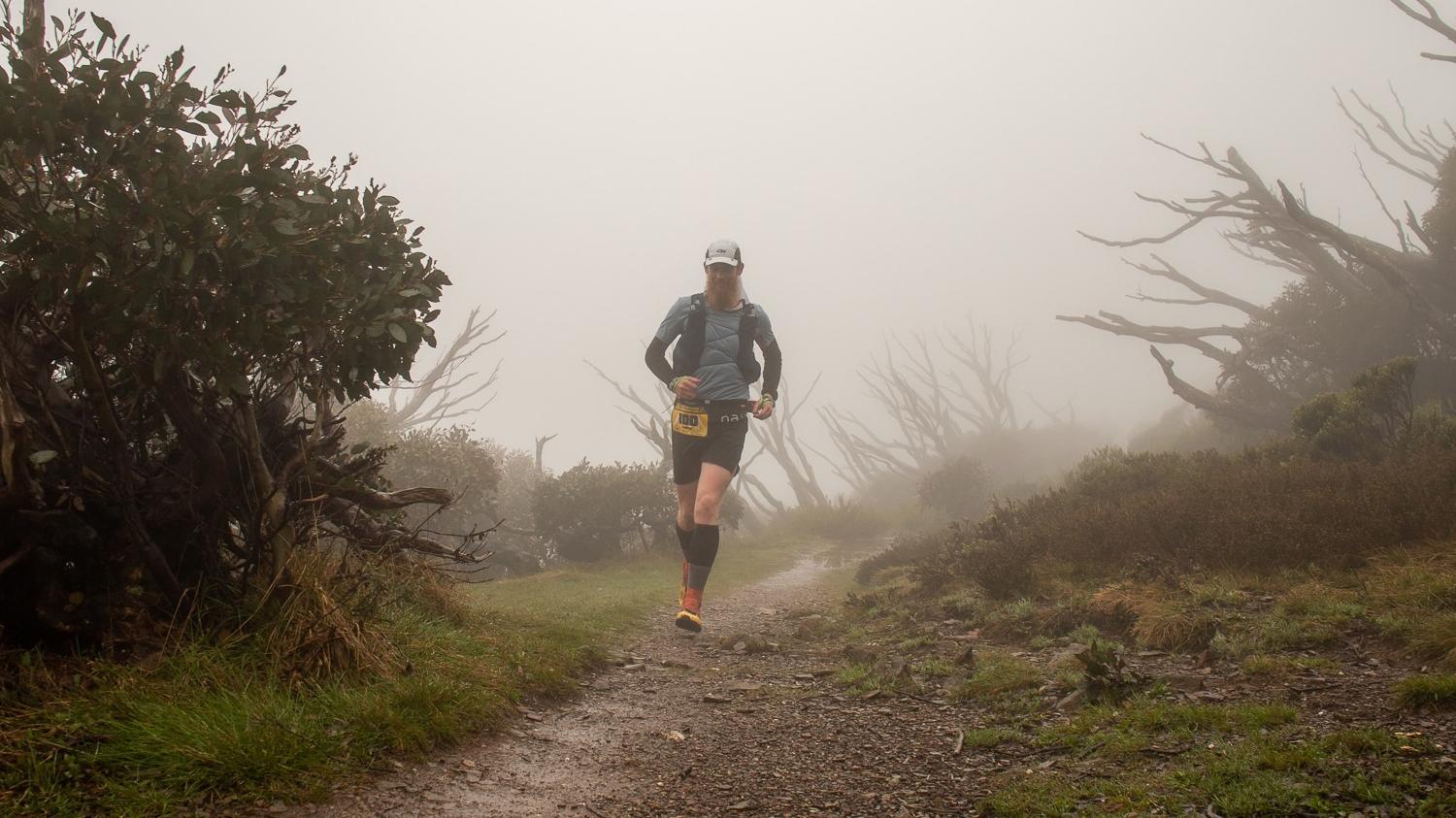
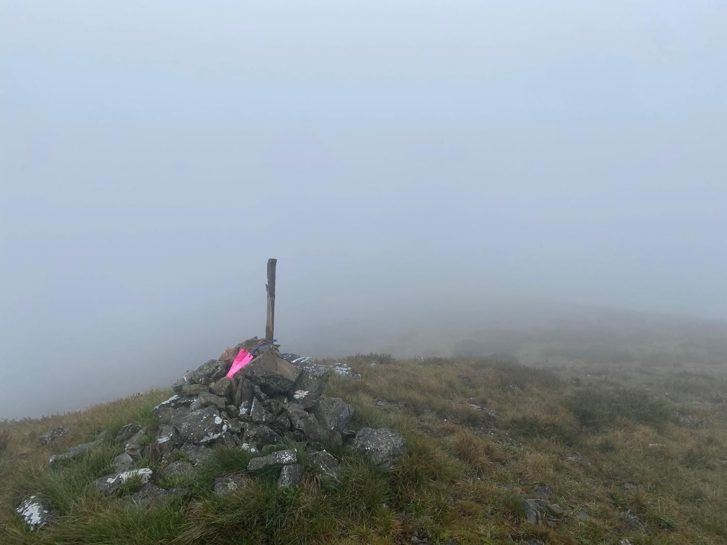
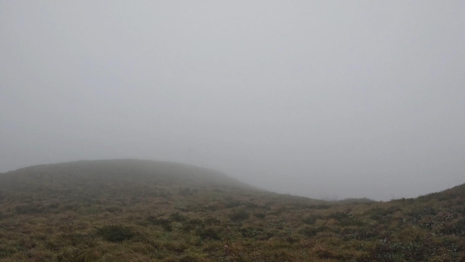
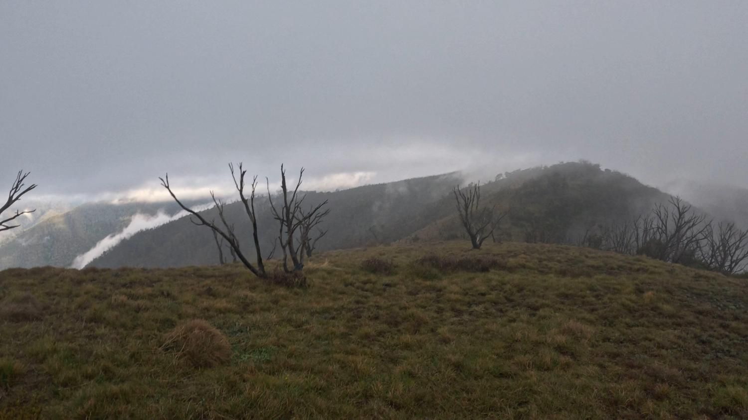
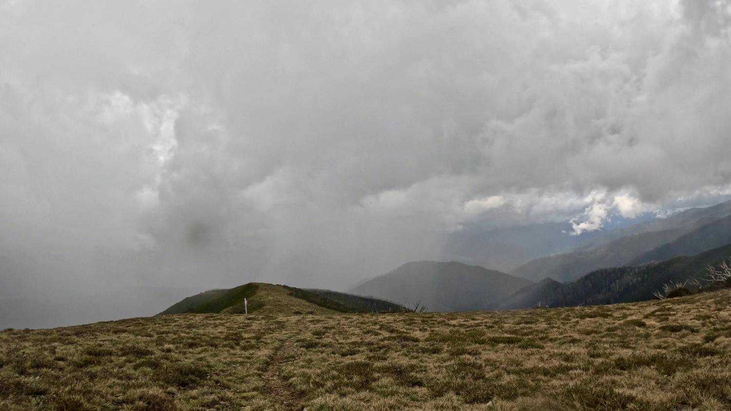
It became clear at this point that we would not be getting the expected amazing views from the top of Feathertop. A group of us climbed up to the top, and after some discussion and consultation with the maps at what appeared to be the peak of Feathertop (unsure if there was meant to be a marker that had disappeared in the wind, or if it's an obvious peak in clear weather - it was hard to tell in the fog, but the maps showed us smack bang on top of Feathertop).
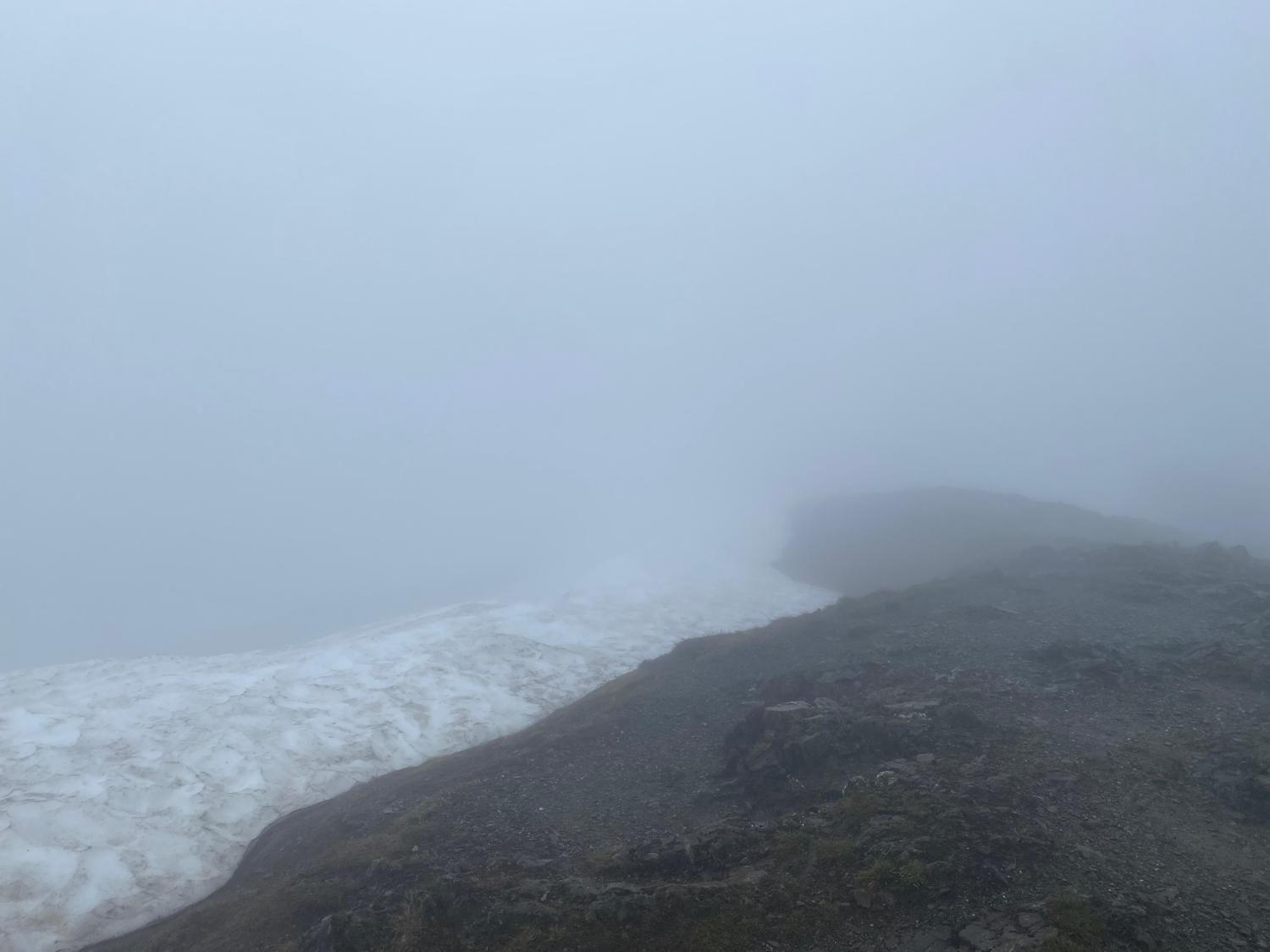
Declaring this the peak, we started the run back down through the soupy fog, and after a short section of track towards Federation Hut, the marshals at the Razorback intersection sent us off along the Razorback trail towards the Great Alpine Road.
I was very much looking forward to running the razorback trail this year, but I'm still going to have to go back and do it again because the fog meant I couldn't see a damn thing!
Except the worms. I could see lots of worms.
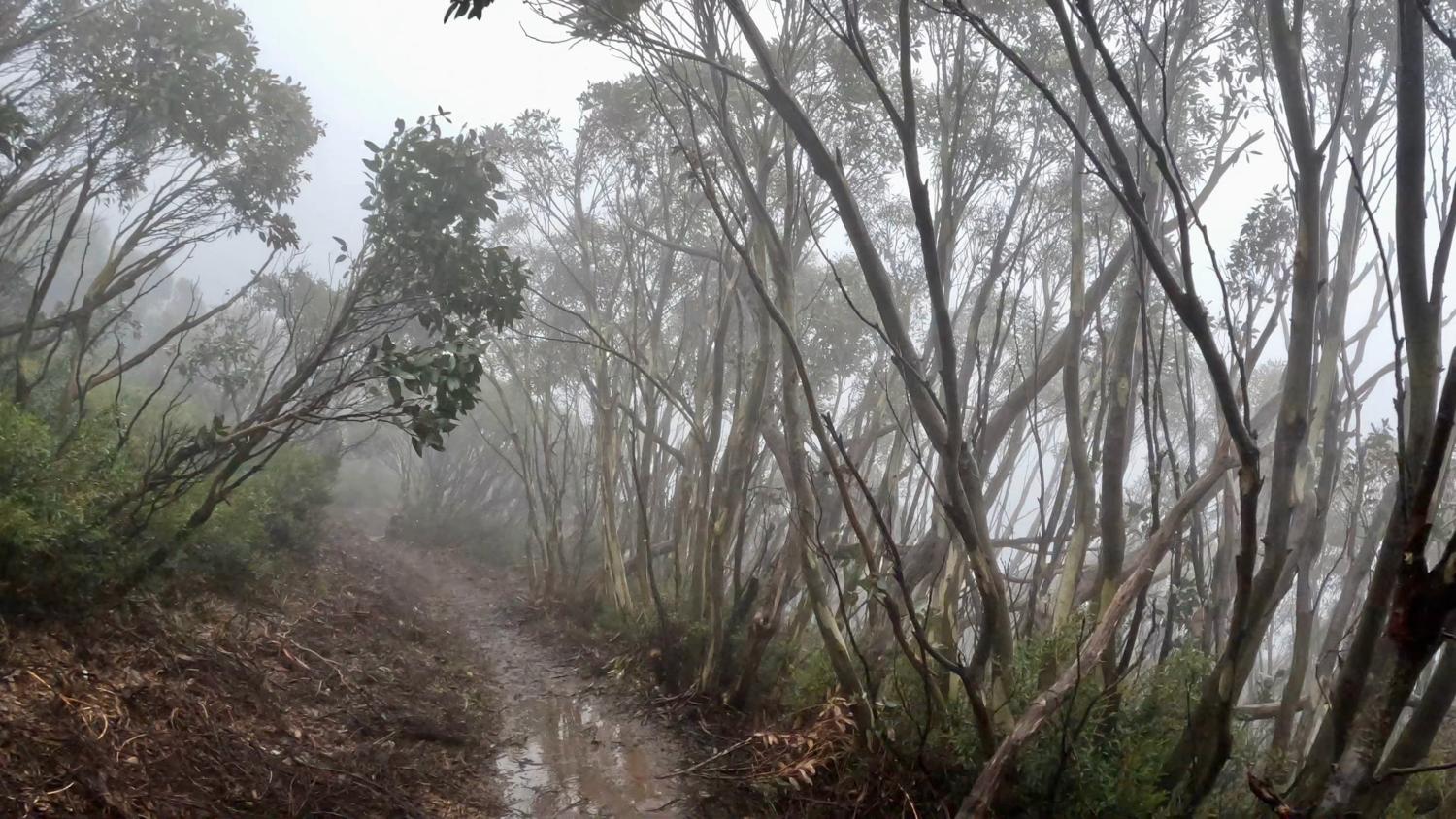
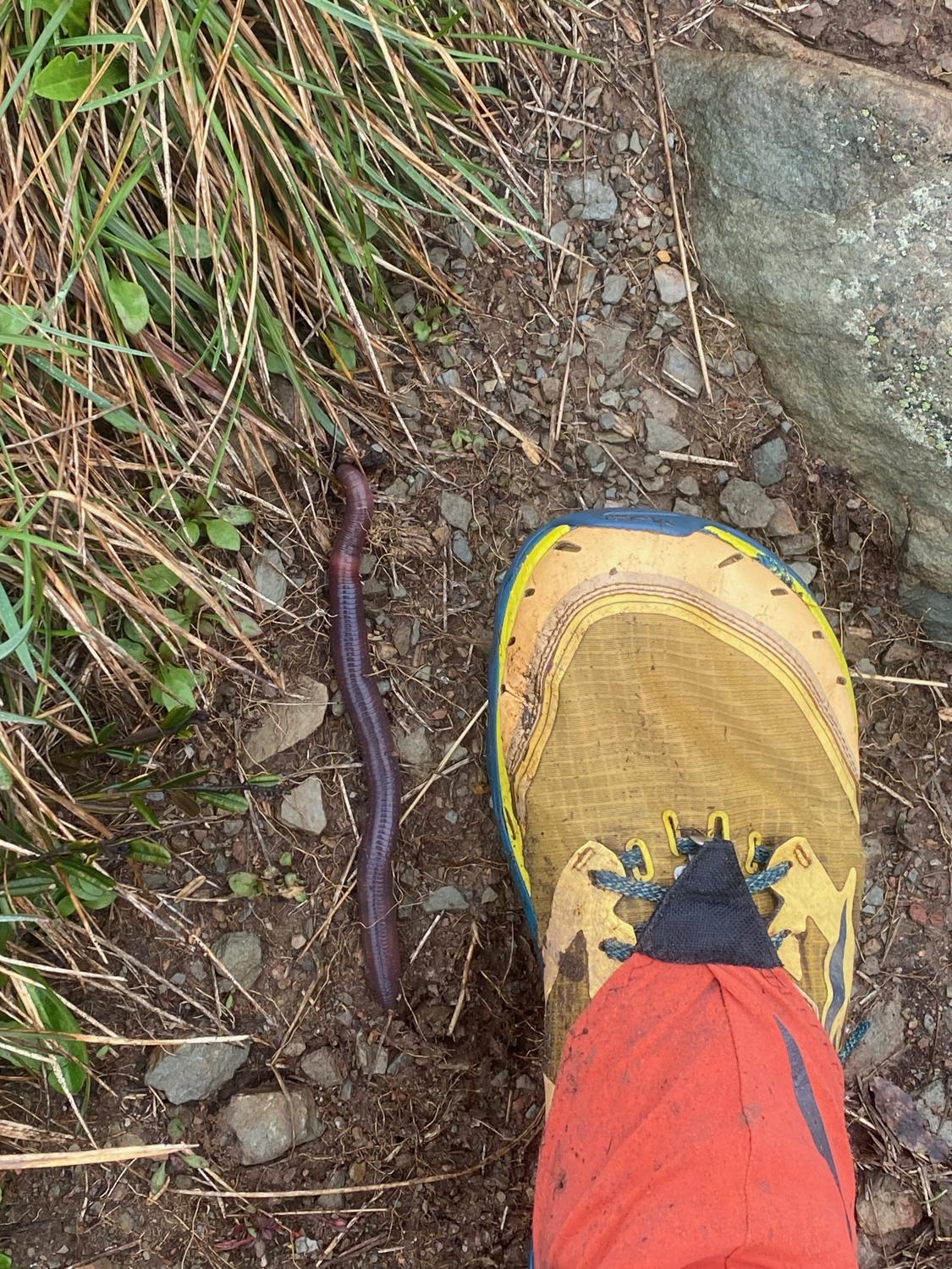
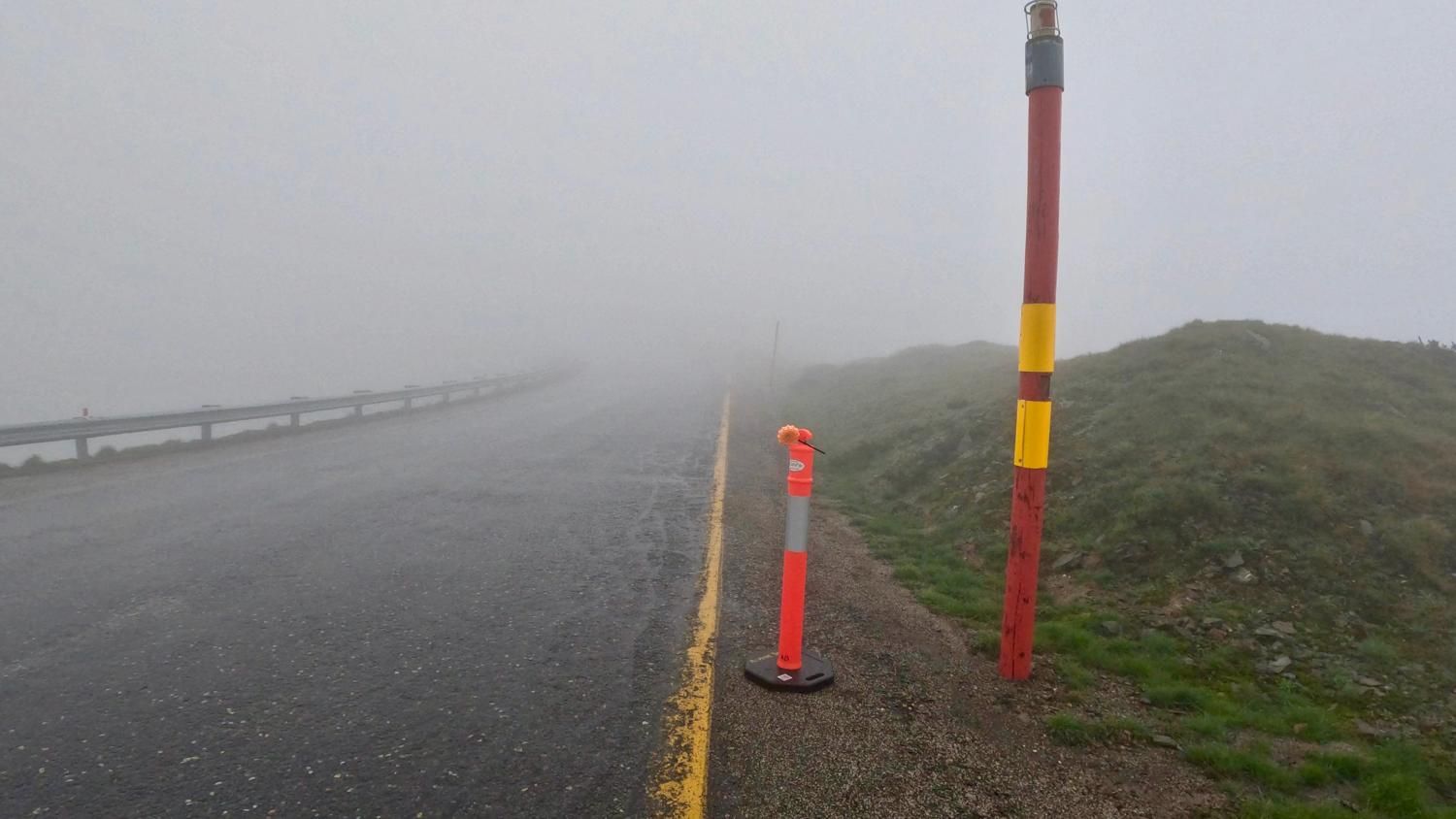
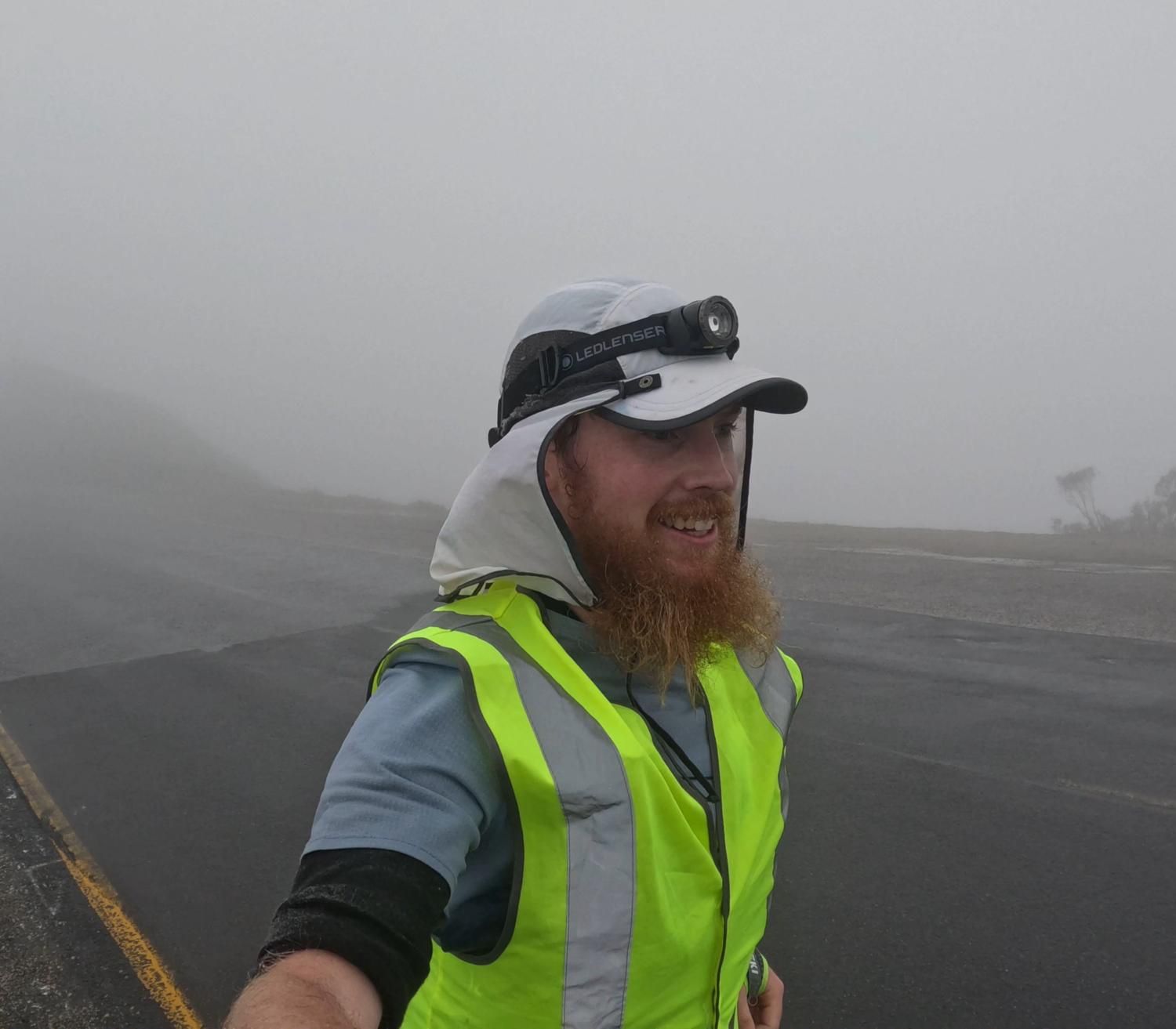
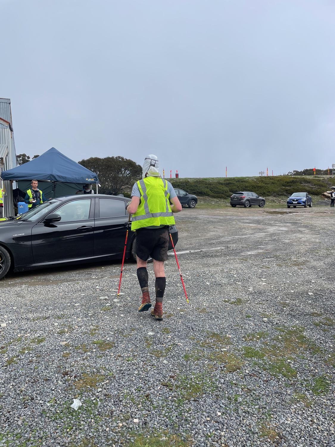
The trail along the Razorback heads along the ridge for about 10km and then pops out on the Great Alpine Road. At this point we don our high-visibility vests, as well as headlamps for extra visibility on the road section given the heavy fog, and cruise 2km down to the Blowhard Hut aid station.
Blowhard Hut is the first aid station at about 29km into the run and was bustling with activity by the time I got there. I saw my support crew for the first time here, but didn't linger too long - they fed me a Vegemite and cheese sandwich, refilled my bottles and then sent me on my way towards Mt Murray.
From the Blowhard Hut Aid Station it's an easy 5km mostly downhill on the Great Alpine Road, which was somewhat terrifying given the extremely low visibility and the prospect of traffic coming towards you. After a few kilometers, we turn off onto a 4WD track and then turn off that onto the Australian Alps Walking Trail (AAWT) which starts the climb up The Twins.
Heading over the twins was certainly an experience. The AAWT is not well defined in this section, and although the course marking was excellent even the best course marking is difficult to see when visibility is down to only a few metres. I was with two other people, Oliver and Jalna (who would go on to win the womens race), at that point and we got slightly lost - until we were able to use the maps to get us back up onto the ridgeline and tracking along the course.
After climbing over the second Twin I started running the descent and realised that I had left Oliver and Jalna behind me, but at this point the track was much easier to follow so I decided to keep on going, following the track mostly downhill to the Mt Murray aid station where my crew were waiting. I was feeling pretty good here, but this was the last time that I would see my crew for the next 90km, so I had some delicious hot noodles and said goodbye to the crew for the night!
The next leg to the Selwyn aid station is only 6.7km of good running road. At Selwyn, it became apparent to the GSER team that my GPS tracker had stopped working a few kilometers back up the road. That provided the opportunity to shove some more fruit into my face while the team sorted out a spare tracker for me.
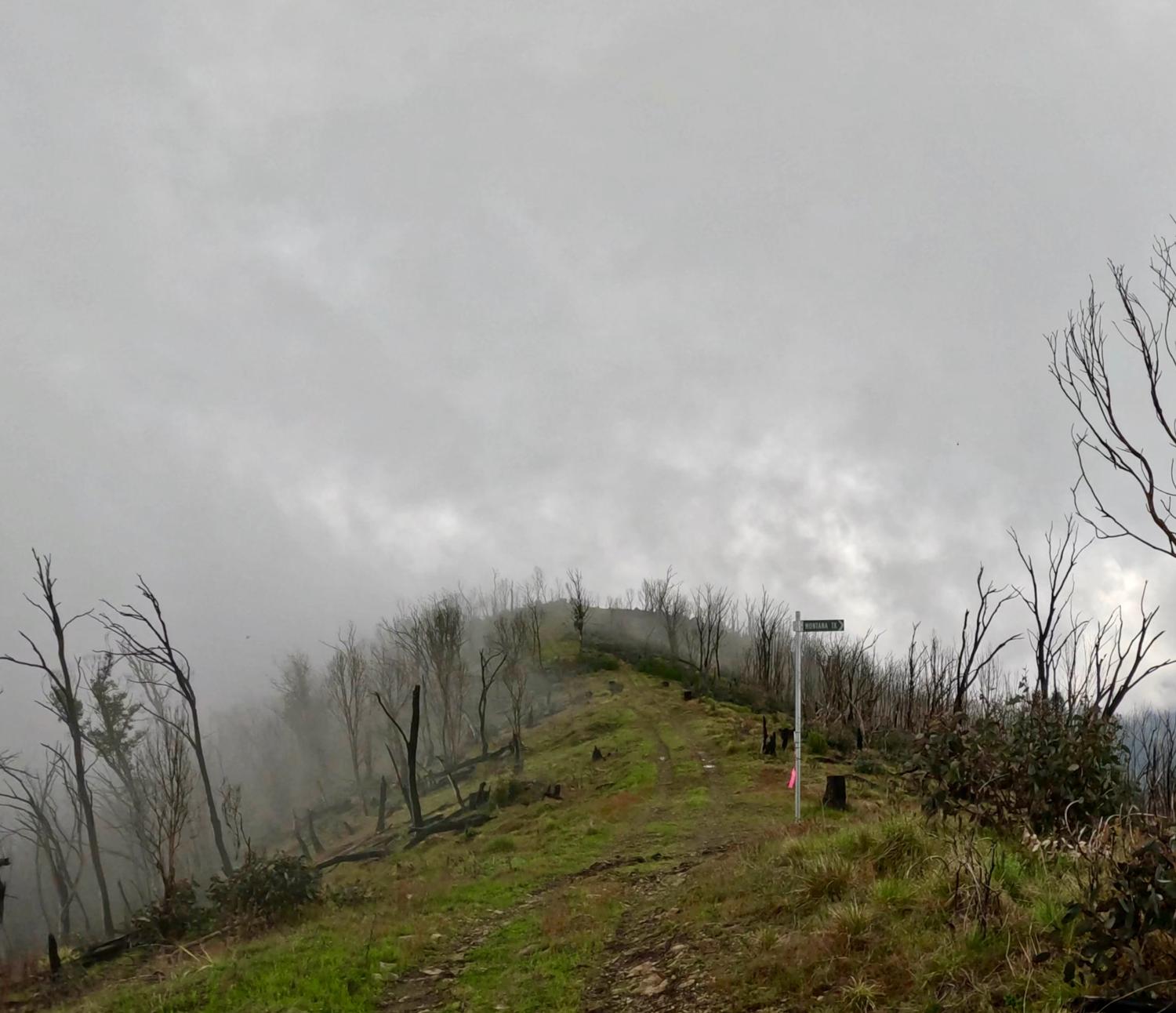
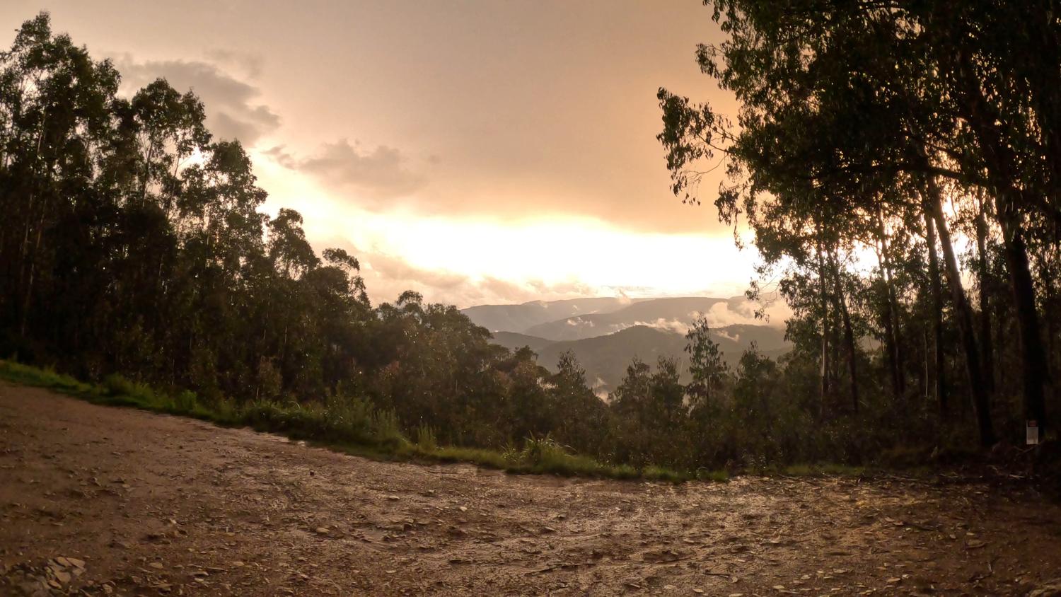
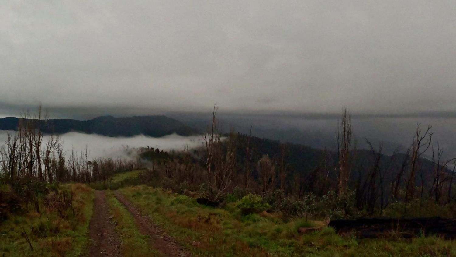
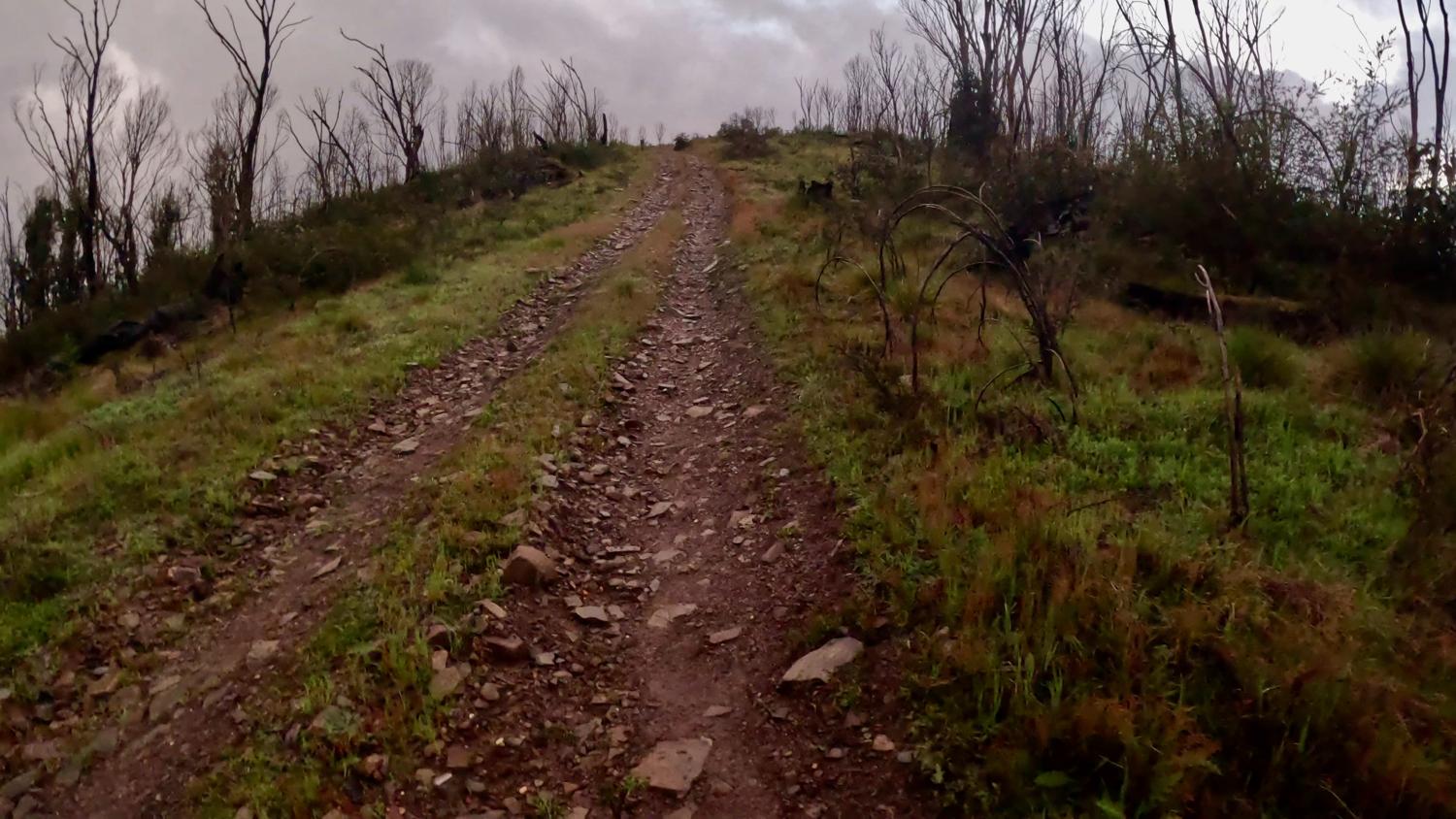
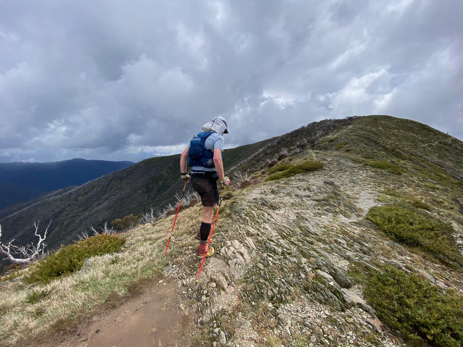
Leaving Selwyn, I knew that this was going to be a long leg. This leg is about 25km and follows undulating walking tracks and fire trail across the Barry Mountains. This leg starts off with a steep fire trail climb, but as it crests the top of the hill you're greeted with some pretty epic views (even with the low cloud!). From here the fire trail heads downhill before eventually ending up at the ascent up to Mount Selwyn.
This is usually a horrendous trail, but the race directors had been out clearing the trail and it was like a buttery smooth highway!
Over the top of Selwyn it's an enjoyable jog down the hill and across a grassy footpad to South Selwyn, though the descent from South Selwyn to the next fire trail was very muddy and slippery (I made a mental note that it was going to be tricky on the way back). The track then joins the road and it's undulating fire trail basically all the way to Van Damme's Saddle aid station - although the first section of fire trail has a number of puddles - one of which I fell in, because I thought it would be a good idea to try running around the slippery, muddy edge of the puddle...
With about 8km or so to Van Damme's Saddle, the course turns onto a really well graded management trail. It's a slight (very slight) downhill, so very runnable on the way out but I knew it was probably going to be walking back up during the night.
I could hear thunder rumbling on the downhill jog to Riley Hut and then the storm hit during the climb back up the other side. I almost got the jacket out, but the temperature was pretty mild and I knew the storm wasn't going to last long, so kept on trudging and true to form, the rain let up just as I was approaching the aid station and I was treated to quite the view out over the mountains
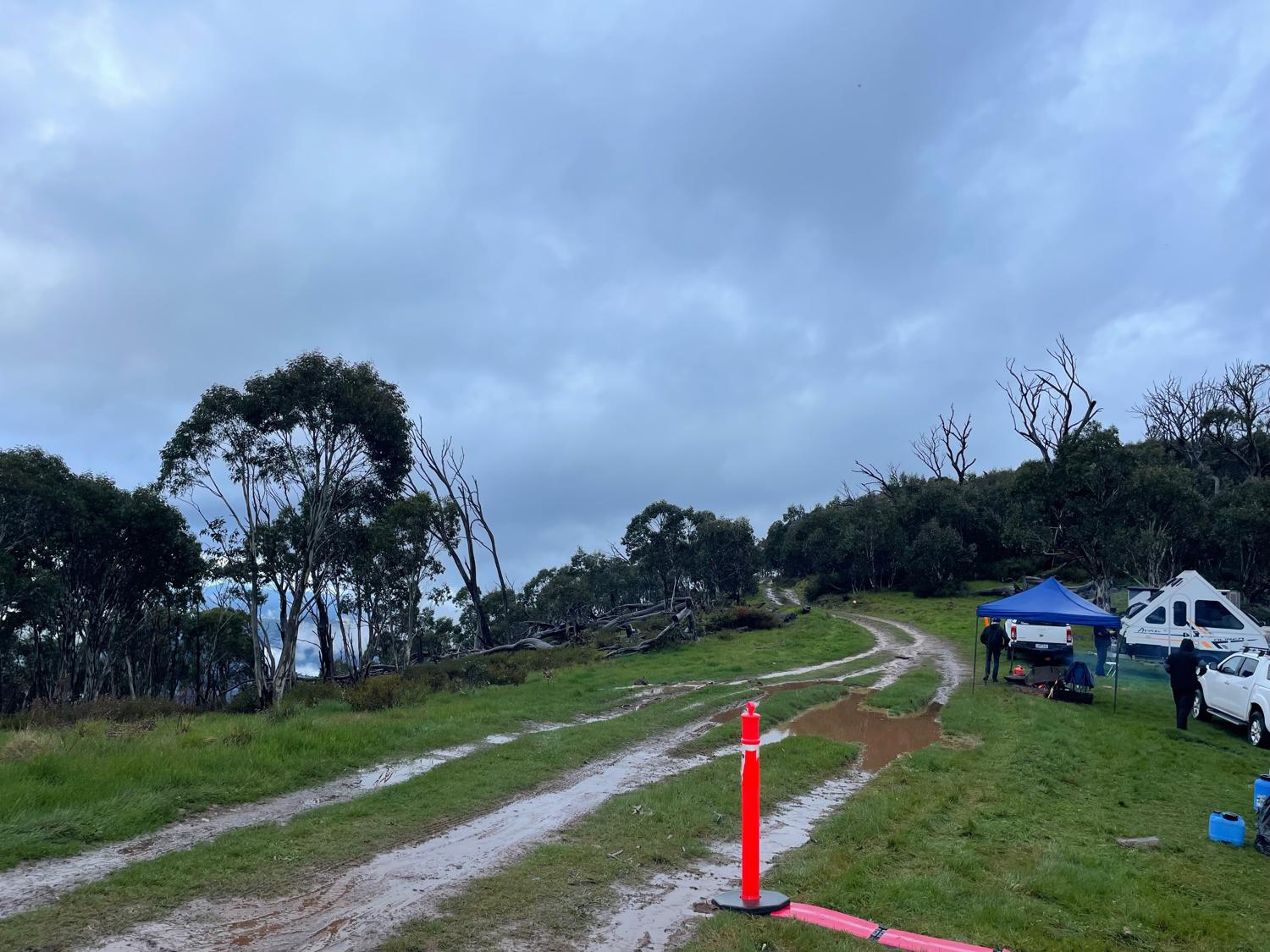
I checked in at Van Damme's Saddle aid - the medic asked if I needed anything then warned me to try not to get struck by lightning. I got my stuff out of my drop bag, filled my flasks with the help of the fantastic aid station crew and then started off towards the Viking. I've never been up the Viking before, so was expecting this to be perhaps a 4-ish hour leg for the 20km return trip, and oh how wrong I was...
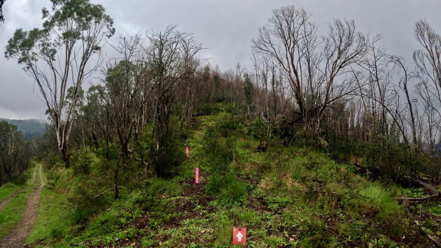
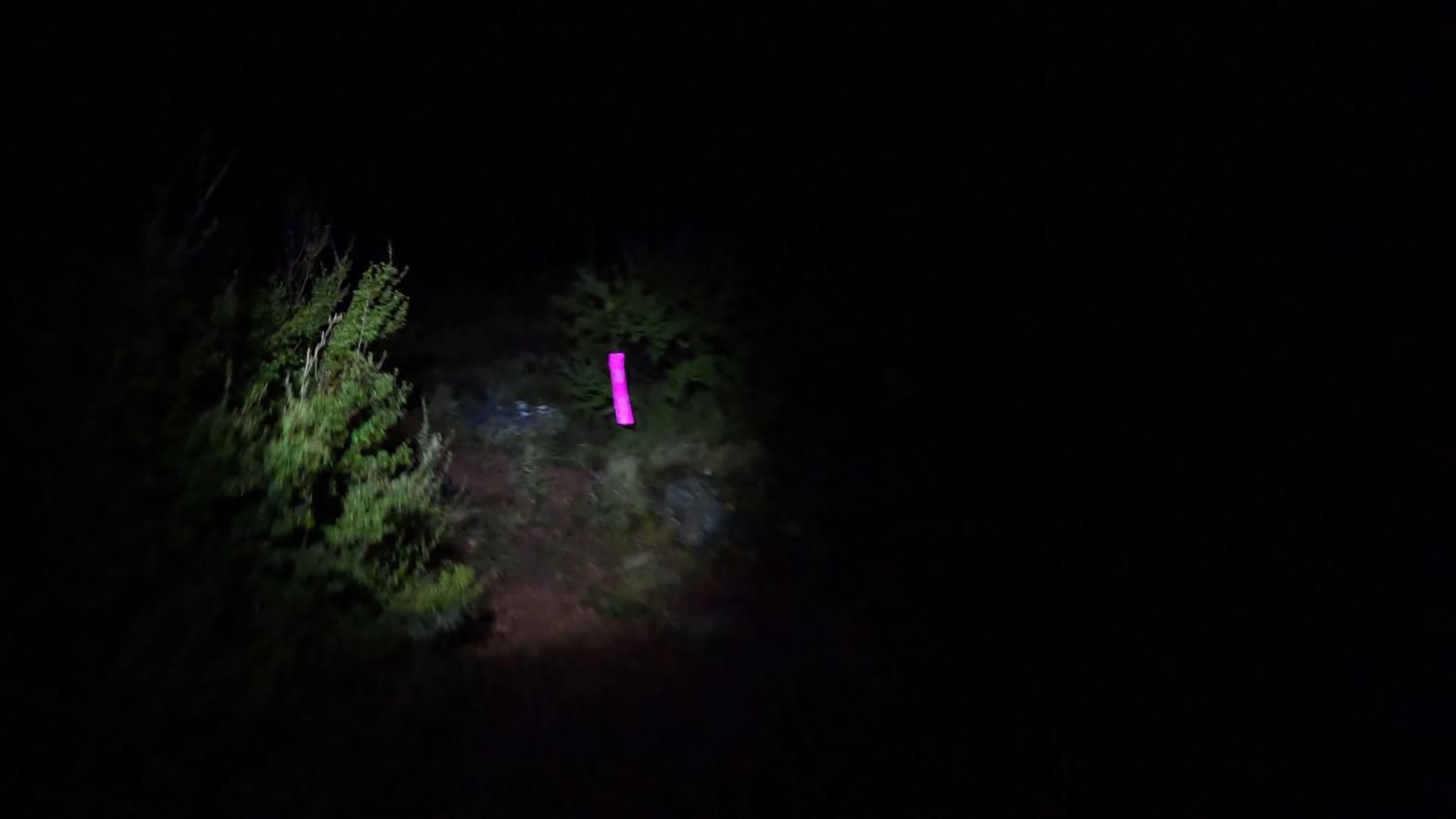
As I left Van Damme Saddle the sun was setting, so I'd donned my headlamp but had forgotten to get my waist lamp out of my drop bag (despite the item on my checklist), so ended up holding my headlamp in my hand for some of the first section given the fog, though the fog did clear up pretty quickly. The track out to Barry Saddle was quite muddy, and after a few kilometres of downhill running, reaches the nice grassy section of Barry Saddle, turns off and then starts undulating in preparation for the climb up the Viking.
In the wet, I really have no words to describe the climb up The Viking. It was... challenging. Wet, steep, slippery and treacherous. All on a hard to follow trail. The people coming down the other way certainly had some very colourful language to describe the climb and descent.
I got lost at one point, and luckily some of the people were coming back down so could guide me back onto the trail (a favour I was to pay forward on the way back). Once I'd climbed the worst of it, there were still a few other sections of slippery muddy trail to negotiate, but eventually it started to level out and I could see the lights of the crew up there with their fire going, which meant that the turnaround point was near!
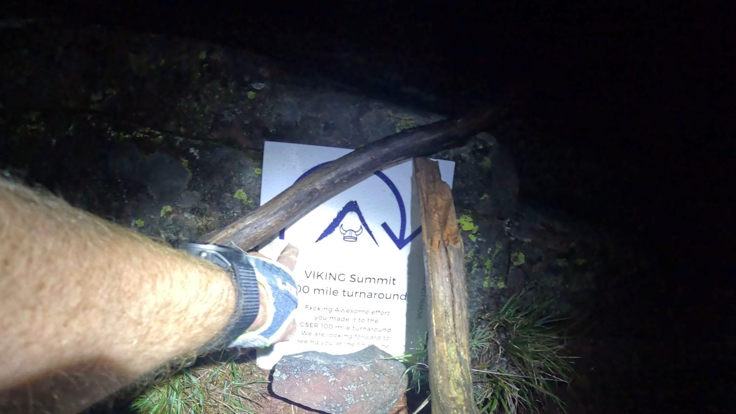
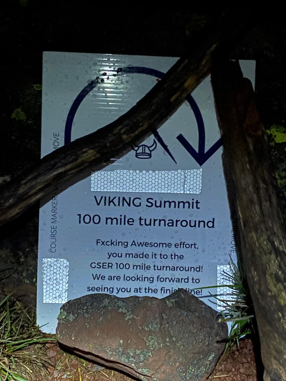
The guys there gave me the details on where to go, and I headed up the next few hundred metres to touch the turnaround point of the Viking!
After a few moments to reflect on the journey out to this point, and watch the light show of the storm in the distance, there wasn't much left to do other than start heading home! I ran into one of the other guys on the way up who had unfortunately broken a pole (declaring that "losing a pole is like losing a kid"), passed both Jalna and Oliver who were on their way up and a couple of other people, then got lost myself again on the descent, but this time used the maps to guide myself back onto the trail.
I spent a lot of time on the descent just having no damn grip on my shoes and sliding down the track on my backside, with lots of swearing, but eventually got out of the worst of the steepness and started to make my way along the undulating trail back to the Van Damme's Saddle aid station - with a quick stop at the Barry Saddle rainwater tank to wash some of the mud off my poles and hands from the slide down the hill to try to stop the mud clogging up the mechanism of my poles.
Despite knowing already that the worst was probably over, I was still very happy to see the lights of the Van Damme's Saddle aid station appear down the road! This was at about midnight, and with people on their way out to the viking, as well as those coming back it was a different place than 5 hours previously - lots of chatting around the fire.
I tried not to complain about The Viking climb too much, but still did let on that it might be "a piece of shit".
As usual the aid station crew were amazing - Feeding me some soup, helping to refill my flasks and get to my drop bag. I spent about 15 minutes in the aid station here, making sure I was sorted out for the next leg which I was anticipating to be a difficult one - 25km of undulating, slightly uphill back across the Barry Mountains in the dark and through the earliest hours of the morning.
It sounded like a tough leg in my head, but this is what I trained for.
I left the aid station and jogged the next 3km descent down to Riley Hut, and from there I knew it was going to be a significant amount of walking - it's another few kilometres of uphill fire trail, but then the next 5 or so kilometres of fire trail is a very, very slight uphill. On the way down it's a great runnable section, but I knew for me in the middle of the night the best thing to do was to power-hike this next section, and almost use it like a bit of recovery for the next day.
So once it leveled off I just kept walking - with the occasional couple minutes jog to break things up a bit. I also used the time to change my headtorch battery (as a precaution) on the move and to plug my phone into my power bank. One my goals was to try to "faff on the move" rather than coming to a complete stop to sort things like batteries out.
Honestly, the night section didn't phase me that much and I think I have the night training to thank for that. I just kept plodding along the road, knowing that there was a section up ahead where I could run some sections, followed by a muddy, slippery climb up to the campsite at South Selwyn. By the time I crested Mt. Selwyn on the return at around 5AM, the sky was already starting to lighten (and I could hear another thunderstorm off in the distance).
Descending Mt. Selwyn was a reasonably straightforward task seeing with how well the track had been cleared, and then the course re-joins the road off the AAWT. At this stage the sun was starting to come up, although it was a tempered sunrise with all the cloud cover still around.
Of course, the downside of the sunrise is that I could see the heinous fire trail climb that I had forgotten about before the descent down to the Selwyn Aid Station.
Although I audibly complained about it, the climb wasn't too bad in the end, then an easy descent down to the Selwyn aid station!
The volunteers were once again amazing at Selwyn, though I wasn't stopping for long as it's only 6.7km to the Mt Murray aid station, where my crew would be meeting me. I went into my drop bag to collect my legionnaires hat for the next day, had yet another banana and filled a flask with water then kept trudging - the next leg was only short and good road, but it was mostly bloody uphill.
I was struggling to eat at that point - not sick, but it was just a real deliberate task to try to eat so I was a little concerned about how I was going to make it over the Twins again. But I put that out of my head - that was a problem for after I'd completed this leg.
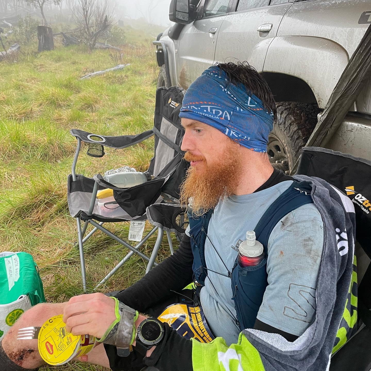
As is tradition the rain started up again just as I was approaching Mt Murray, and this was probably the coldest part of the run. Luckily my amazing support crew were there (as well as the aid station crew), who fed me more hot noodles, kept me warm and psyched me up for the next leg.
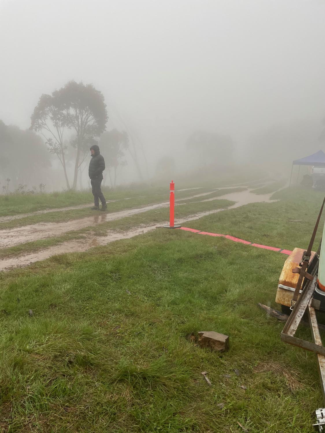
I was getting cold so chucked my gloves on, but the rain radar showed that this should only be a shower without much behind it. I figured the best thing to do was just to start moving again and start chipping away at the section over the Twins. Having seen the crew and had some hot food, I was feeling much better about life leaving onto the track out to the Twins, despite the rain, although that cleared up after 5 or 10 minutes (just as I was contemplating getting my rain jacket out...)
Going up and over the twins wasn't as bad as I thought - the climb from this side is much easier, and although the descent is not well defined, the slippery and steep descents down both twins are short and sweet. Before I knew it I was back at the Twins Track and hiking up the fire trail, not far from the Great Alpine Road! I passed Tom Dade storming down the 50 Mile course in the lead, then threw the hi-viz vest back on and rejoined the Great Alpine Road!
Up the road is mostly hiking with some small sections of running, but it's super easy hiking on good bitumen. I passed a couple of other people, and the camaraderie between the 50 milers coming the other way and us 100 milers on the way back was very uplifting!
Waltzing into Blowhard Hut where my crew were waiting was a good feeling. I already knew what I wanted to do at this stage - get in, refill water, grab some gels, and get out. I knew I wanted to remove my thermal top and chuck it in my pack, so I did that, removed my HR strap since it was giving me blisters, had a few bites of a sandwich and then kept on chugging!
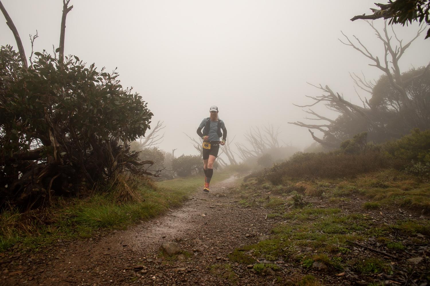
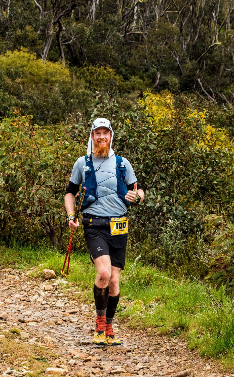
From Blowhard Hut it's 2km of basically uphill with maybe one or two runnable downhill sections along the road, and then you re-join the Razorback Trail to start to head home. I ran into Justin Hiatt on the Razorback who was kind enough to grab a few photos of me.
Then it's mostly runnable until a small climb over the top of Mt. Bon Accord, and then the descent starts! It's steep and technical to start (at least that's what it felt like on my legs with 150km in them), but then smooths out and becomes much more flowy - although pretty long and undulating toward the end. I had a couple of the leading 56km runners come through behind me to keep things entertaining.
I also noticed that I had a sudden blister appear on my toe and my feet were getting quite sore - My shoelace had come loose under my gaiter so I thought that might be the cause, but with only 5km to go tightened the shoe up and kept on going.
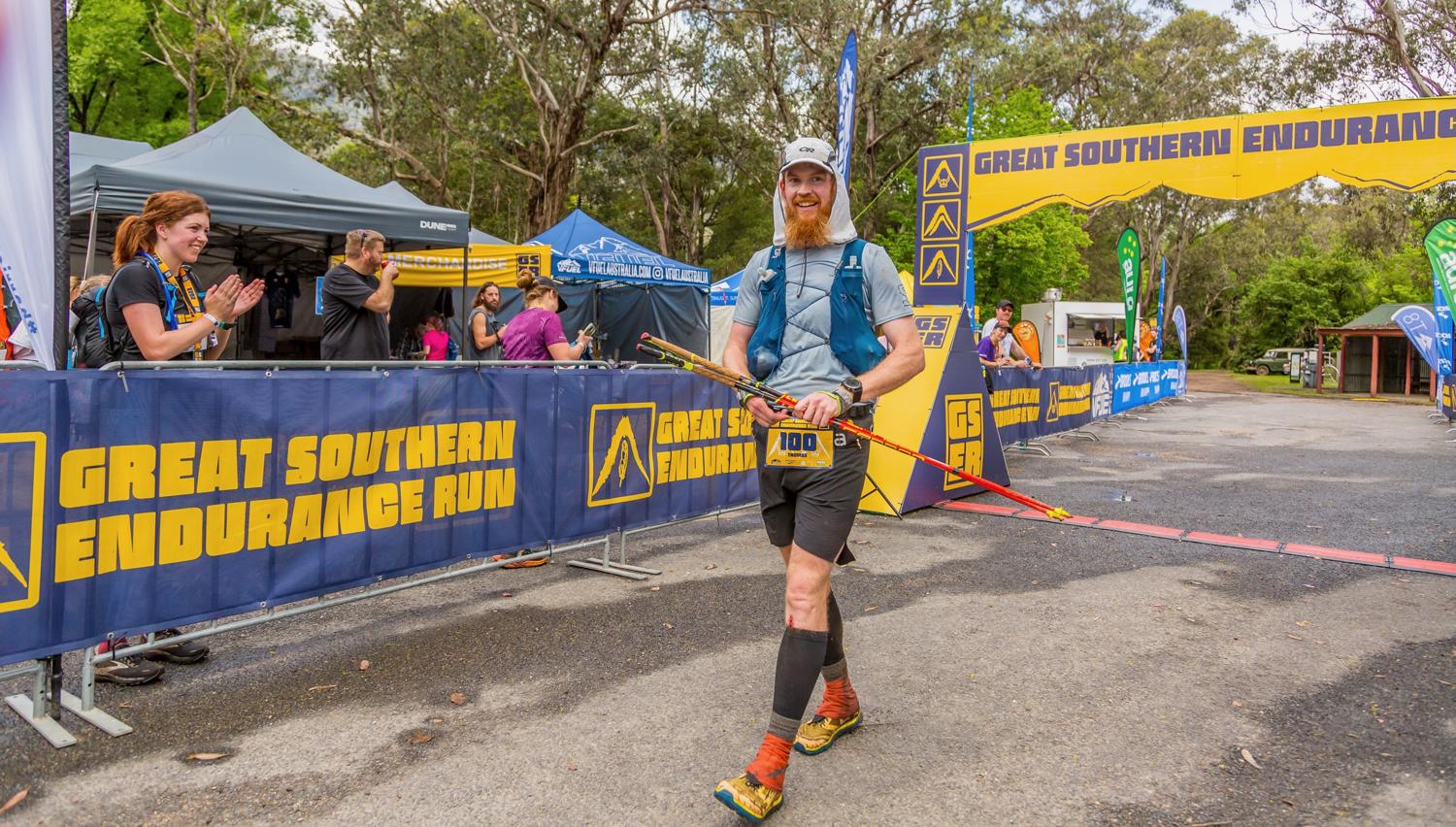
I was getting hot and humid, and I honestly ran out of steam about 2km from the finish - I was cursing myself for not continuing the eating and drinking into the last 10km, but hiked the (slighty) uphill sections and then jogged the last kilometer into the finish line to finish in 31:50:00!
What a good feeling it was to cross the line, after 100 miles of mountains.
Unfortunately I realised soon after I stopped that I needed to sit down very quickly! The combination of the last effort in the past hour, not eating and drinking as I should've on the last descent and the sudden stop had me feeling somewhat light headed.
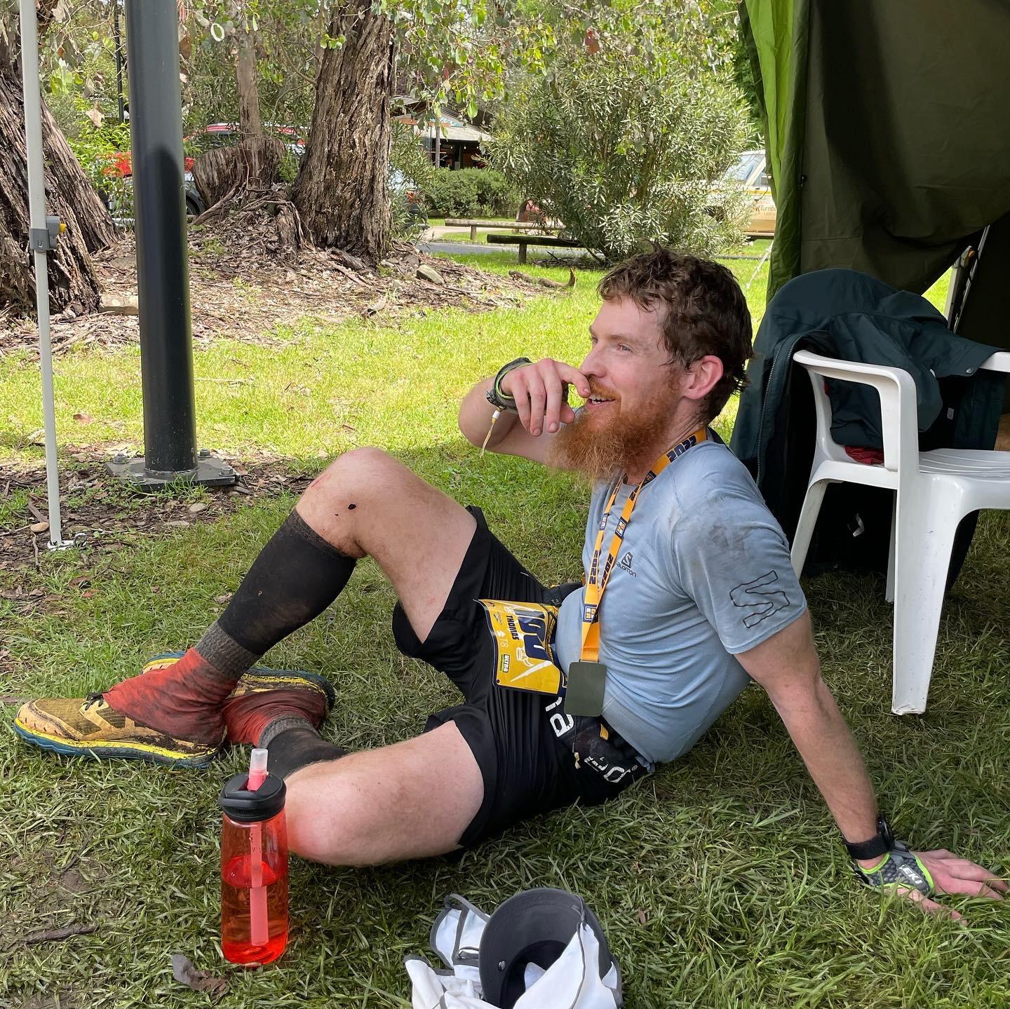
The medics came over to make sure I was all good, and I continued drinking and trying to eat before deciding just to head back to the accomodation for a well-earned shower! On taking my shoes off, I realised that the reason I had a blister on my toe is because I'd had a blowout on one of my toesocks (I had stubbed that toe at some point in the night) so the toe had no sock around it... It ended up being easier to cut the sock off.
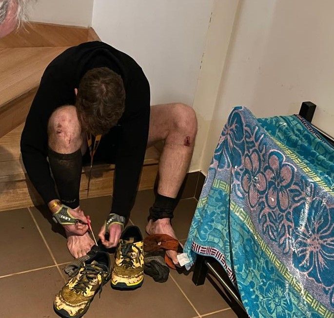
Overall I was very, very happy with this performance for a first miler (and a difficult one at that). I think my training went very well, and I never really felt terrible during the run and always felt quite coherent at the aid stations, and had no injuries other than some leech bites and a couple of grazes.
The finishing time was 31:50:00, for 6th place. Some statistics:
- Burned approximately 15000 - 20000 calories
- Consumed approximately 7000 calories (220 per hour)
- Spent a total of 1hr 20 'rest time' in aid stations
- According to my watch, spent 9.5hrs running and 21hrs walking
- Fed several leeches
- Startled one Wombat
- Drank about 12L of water + more at aid stations
- Had a heap of fun
Of course I need to thank my amazing support crew - Dad and Rachel, and Rachel for putting up with me during all the training. I could not have done it without their help, the GSER Race Directors Megan & Matt and the team, all the volunteers out on course.
A massive congratulations to every athlete who got to that start line - whether you finished or not, putting in the time and commitment to do the training to get to the start line is sometimes the hardest part! There were some amazing displays of grit out there, right up to the people going through a second night and those caught out in the storms who were pulled off the course and awarded with an inclement weather finish. Well done!
This truly is a special event. I'll be back in some fashion in 2023 - Maybe to support or volunteer this time.