Race Report - Alpine Challenge 100km
A race report of the Alpine Challenge 100km Ultra in April 2021. This was my first 100km, and it was an absolutely stunning run set in the Victorian Alps, with ~4000m elevation gain. I finished in 3rd place overall, in just under 15 hours.
The Alpine Challenge is a trail running event set at the Falls Creek Alpine Resort in the Victorian Alps. It has a number of events with 100 mile, 100 kilometer and 42km events, as well as as shorter 25km, 16km and 10km events. All the events start and finish at Falls Creek.
The 100km event involves 4 major climbs over a cumulative total of about 4000m elevation gain, and takes in some spectacular mountains, rivers and alpine high plains.
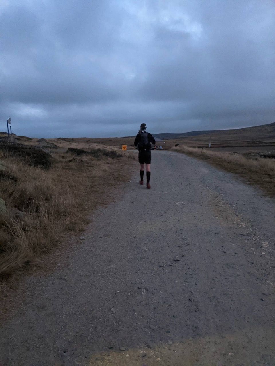
The race started at 0430AM - Conveniently, we were staying in accommodation right at the start/finish line which made for a relaxing morning having breakfast and getting prepared for the start. The course starts with a downhill section for about the first 10km, so I wanted to make sure I started off fairly easy so as not to burn myself out early.
0430 came around and we were off! Heading out the starting corral and onto the road briefly, before hitting a 5km section of downhill single track. Although I'd planned to start off easy, I ended up in a section of the pack that was moving slower than I'd hoped and being a section of single track in the dark there wasn't much opportunity for passing. This wasn't the end of the world, but lessons learned for next time to place myself in the starting pack at a more appropriate position.
The 10km of downhill ended in a river crossing at Rocky Valley Creek - there was a fair queue to hop across on the stones and the river wasn't any more than knee deep - so I chose to get wet feet and just move through the river. The weather was forecast to be absolutely perfect, so I didn't have any reservations about getting wet feet so early on.
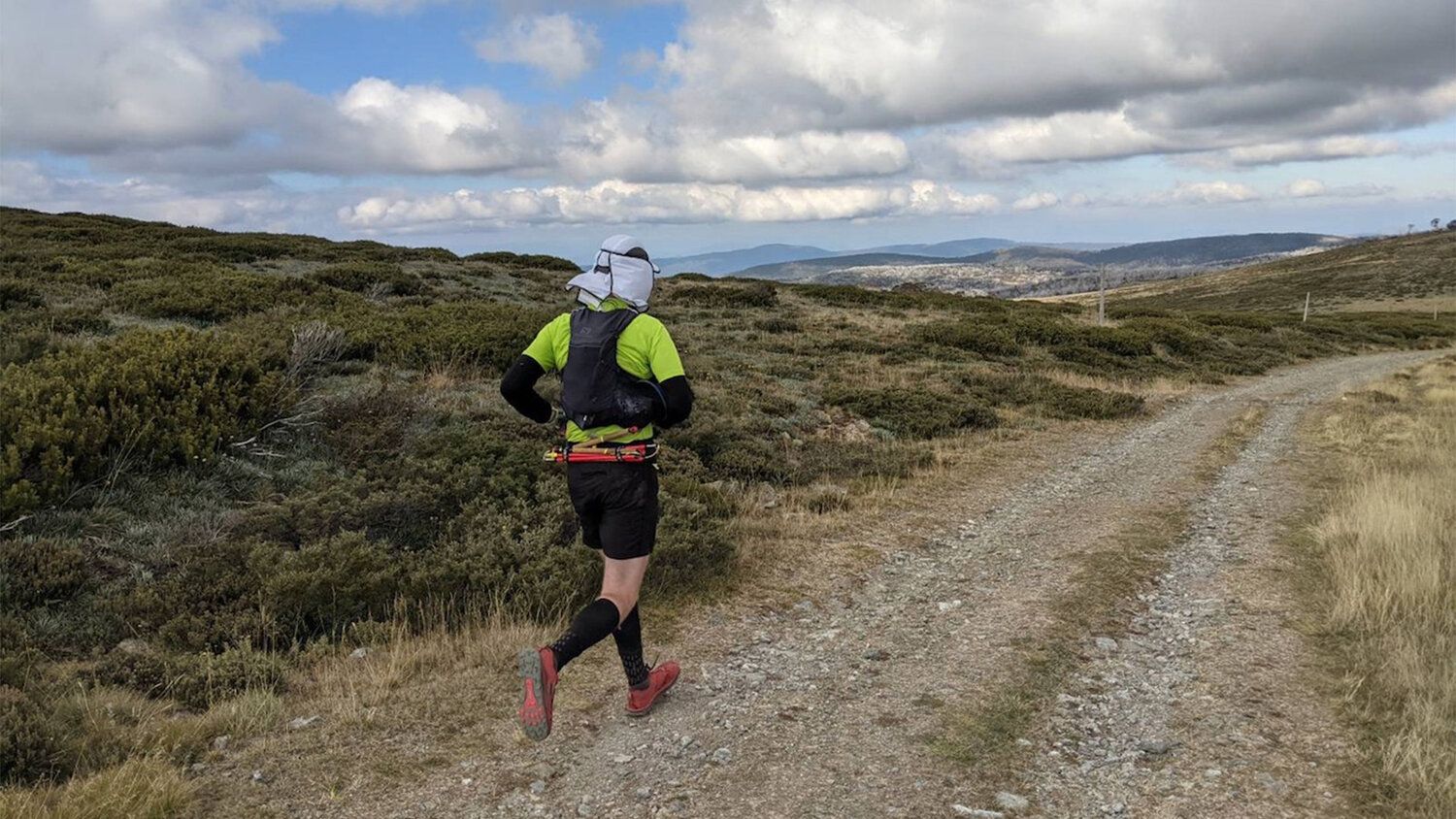
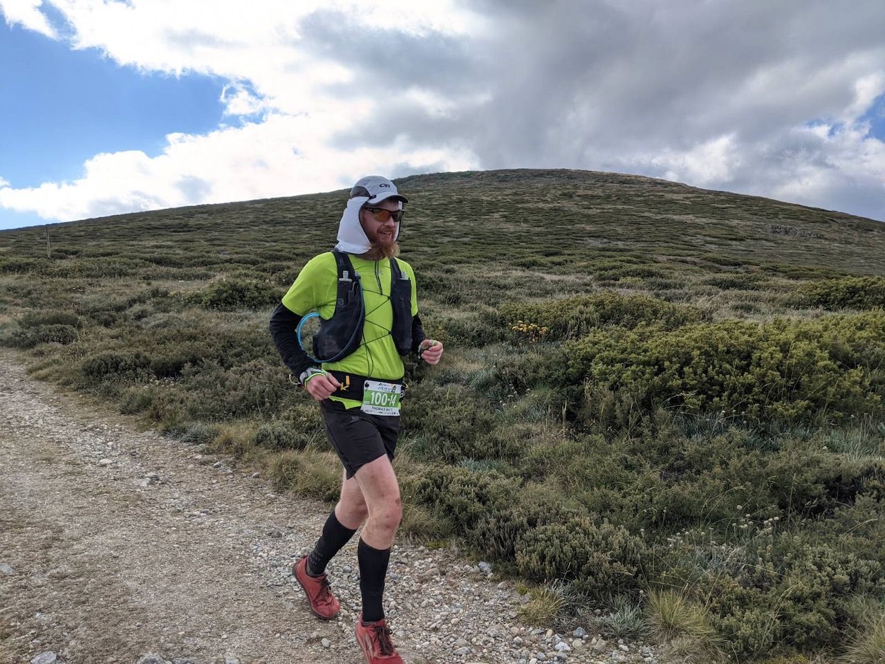
Once we crossed the river the first major climb begins. This climb took us up the Spion Kopje track onto the ridgeline. This climb covers about 8km and gains nearly 1000m of elevation, so it's a good way to shake out the climbing legs. As we're climbing, the sun starts to rise providing some amazing views back over the valley towards Falls Creek (as well as making for a rather glary run across the ridgeline. I swapped my buff and headtorch for my hat up here).
On the way up the Spion Kopje track I experienced some rather unusual stomach issues (I rarely experience these kind of issues). It was nothing major, but just made the climb a little uncomfortable and added a bit of a stress about whether it was going to become something major that might require a few stops. Fortunately, it seemed to sort itself out after the first 20km or so.
Once we hit the top of the climb, it was a gorgeous run above the tree line along some relatively flat ground in the golden morning sun to hit the 24km checkpoint at Warby Corner. My good friend met me at the aid station, and I topped up with water, but not much else.
From Warby Corner, the course heads out on a big loop that has most of the rest of the major climbing, before returning to Warby Corner. The course isn't really marked after this point (except for major decision points) and honestly it doesn't really need to be - Having said that, I did miss a turnoff just near Roper Hut (it was my own fault) - but this only added a few metres as I ended up at the other end of the campsite and quickly realised my error.
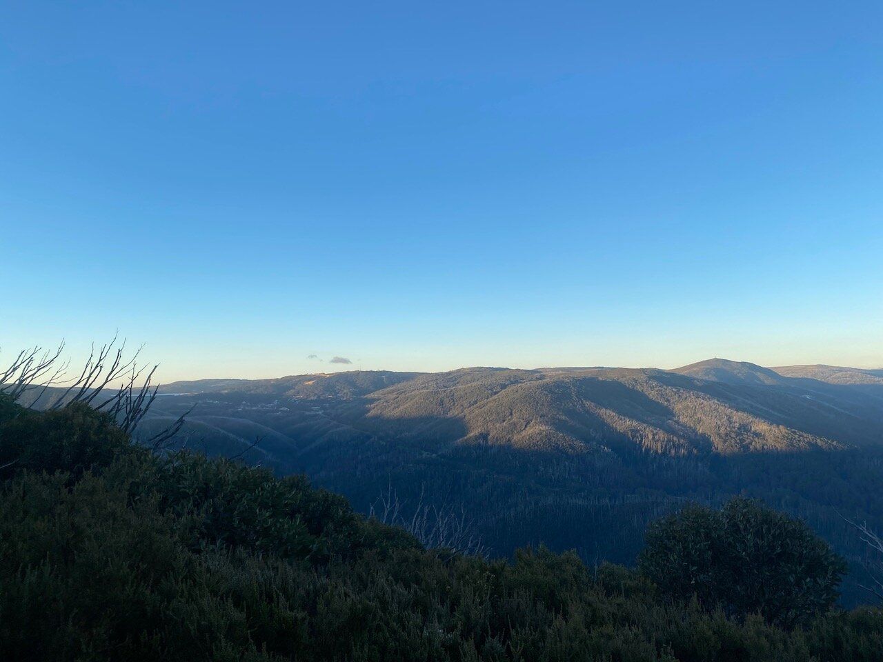
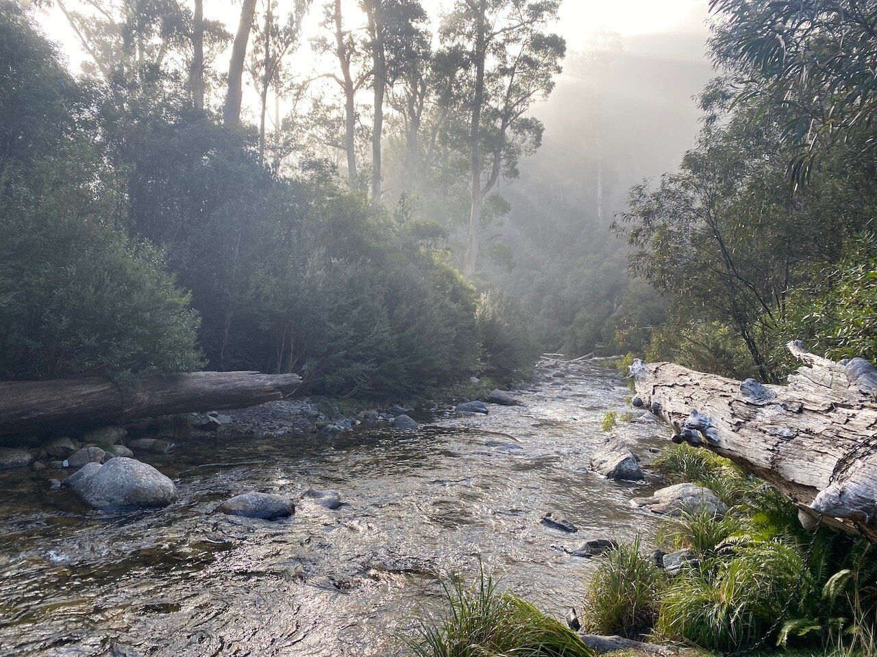
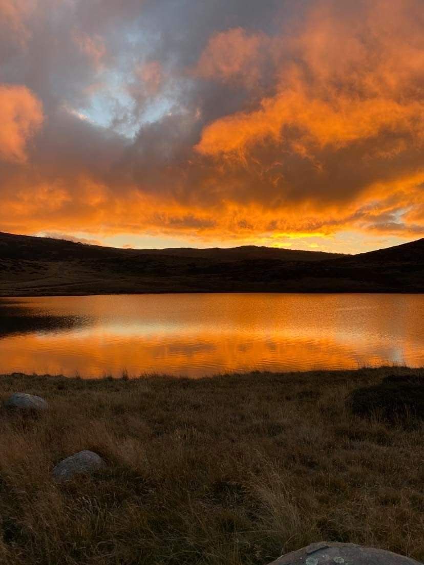
From Roper hut the course heads down roughly 6km worth of single track descent - a descent that about halfway down I decided to dub the "Quad Slayer" - until it crosses Big River at the bottom of the valley and starts the climb back up. The bottom of the valley was fogged in, which I find always makes for some amazing scenery.
I found this descent tricky to balance my speed on; trying not to brake and slow down too much to avoid burning my quads out, but also not going too quickly with it being a steep and occasionally technical descent so pretty high risk (for me, at least) of tripping up and sliding down the hill on my face.
The scenery at the Big River crossing more than made up for it:
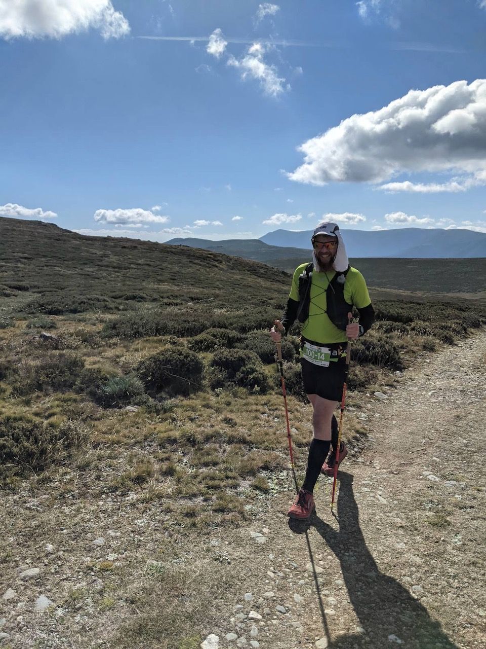
Of course, hitting the bottom of the valley then means a climb back up the other side. This was quite a tough climb, but I settled in with my poles, made sure I was on top of my nutrition (I like to use uphills as a time to get food in) and just dug in and got it done. The first 2 or 3 kilometers of climbing were very steep (an average of a 21% gradient according to Runalyze).
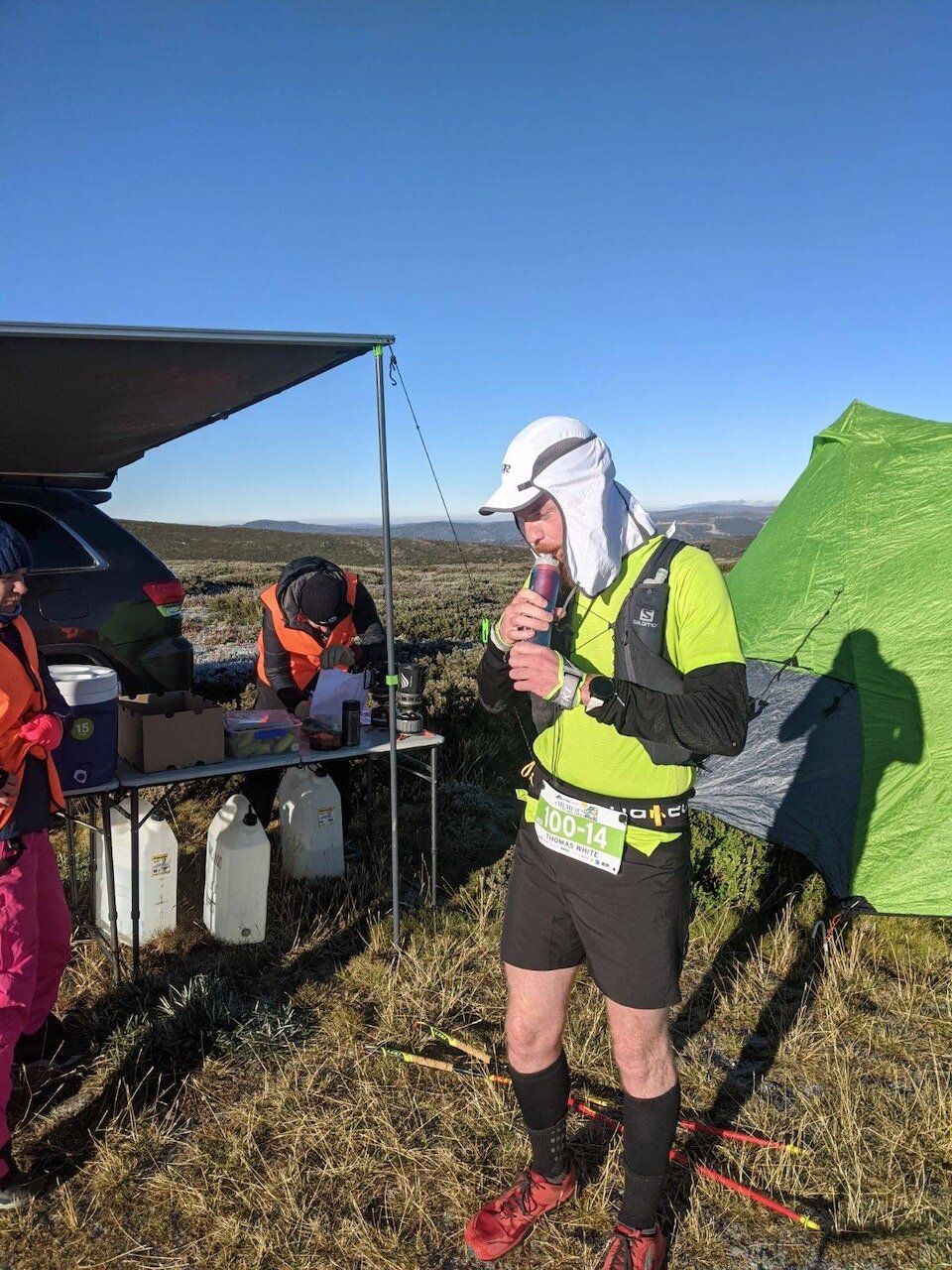
From here the course follows the Australian Alps Walking Trail (AAWT), before making a turn onto the Mt Bogong trail. At about 38km there is another aid station at Cleve Cole Hut - looked after by the amazing volunteers from Alpine Search and Rescue (ASAR) Victoria.
At the Cleve Cole Hut Aid Station I took the time to sort some things out and make sure I was happy, knowing that there was about another 25km, including some more climbing (and descending!) before the next aid station, which was back at Warby Corner. So I had some food and water, topped up my water flasks from the huts tanks and applied sunscreen. I also grabbed my sunglasses out (because I forgot to do it earlier and the sun was well and truly up above the exposed alpine environment) and had a bit of a chat to the ASAR guys about shoes.
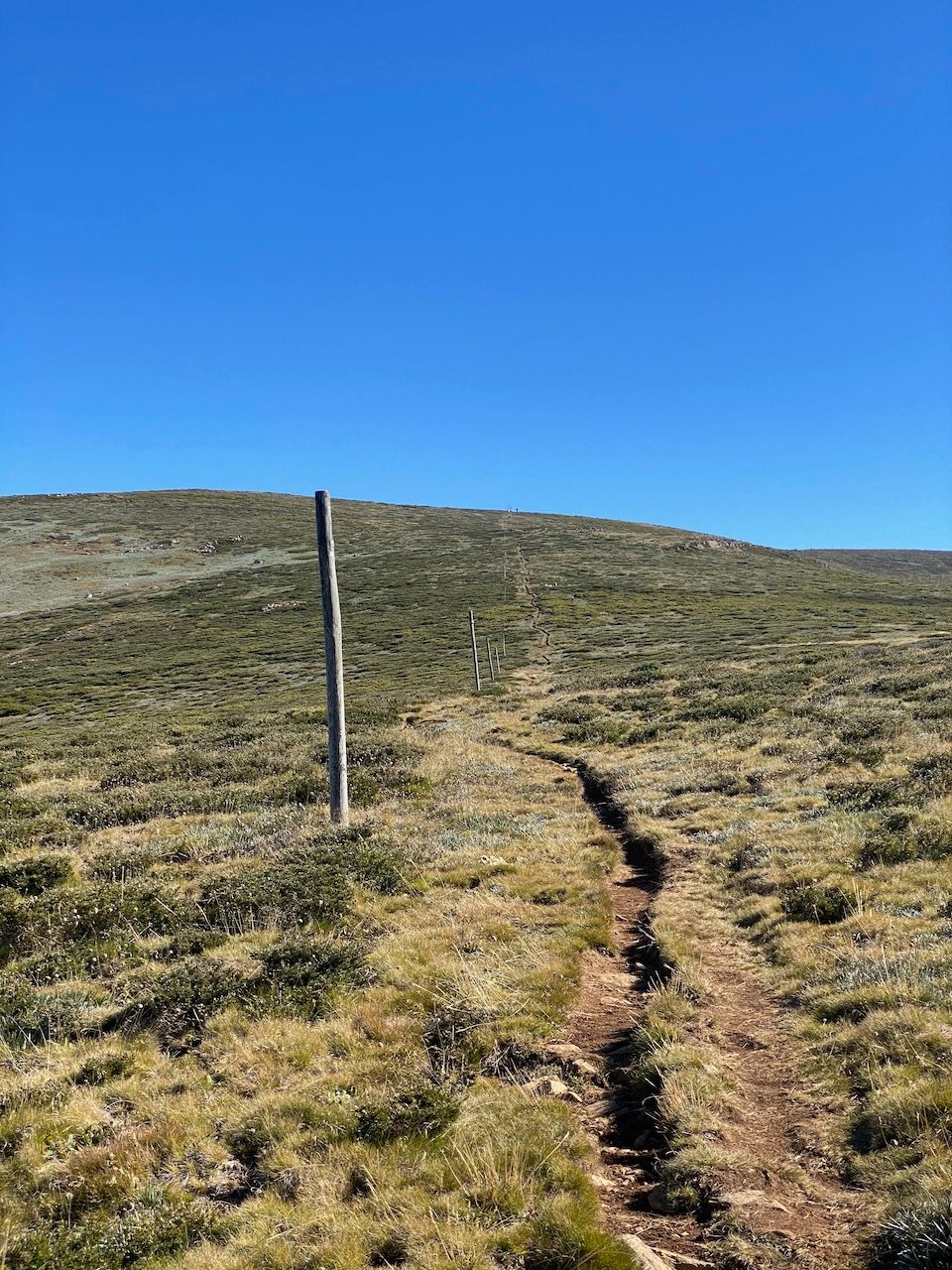
After leaving the Cleve Cole Hut aid station the track continues more or less on a general uphill trend to the top of Mt Bogong (Victoria's highest point). The track pops above the trees and a footpad follows the pole line up to the summit of Mt Bogong. This track has some amazing views, but I found it quite difficult to run on in places due to the way the footpad sits slightly below the surrounding terrain, and can be rocky in places. At one point, I thought I was good to run before promptly tripping over about 4 metres later (you may have picked up that tripping over is not unusual for me...)
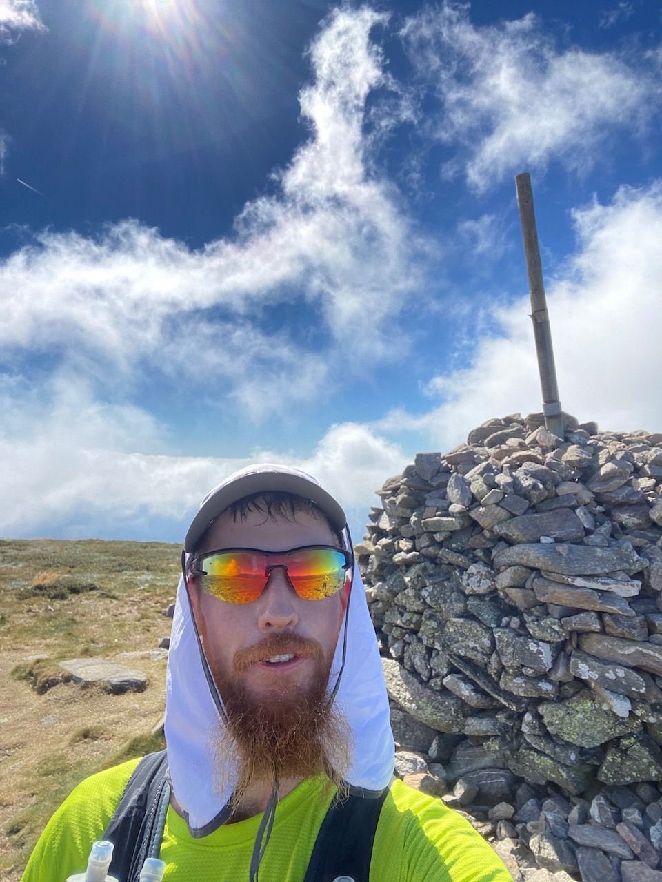
At the top of Mt Bogong I stopped for an obligatory selfie, fired off a message to my support crew to let them know I was still alive, and had a bit of a chat with some friendly hikers. The hikers were asking what the event was and were curious about the route the course followed. They commented that I was "awfully relaxed for someone trying to run 100km in 15 hours" which I guess is a good thing!
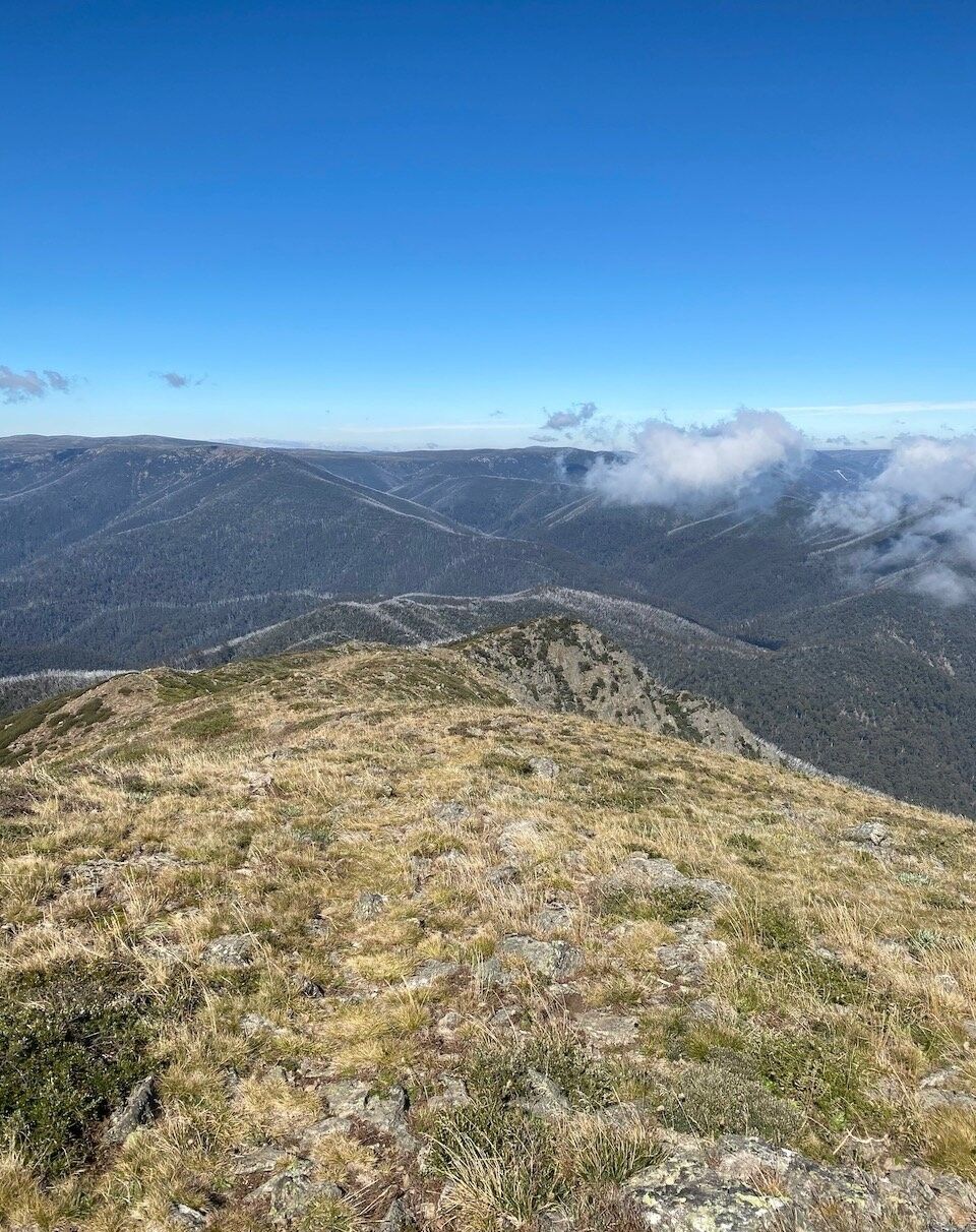
From the top of Bogong it was a long, steep technical descent down Quartz Ridge and Tims Spur - if the descent from Ropers Hut was the quad-buster, then this descent was the ankle-buster. A very fun descent nonetheless (although some of the undulations were less fun), which heads down the ridgeline before reaching and crossing Big River again farther upstream. There were some 100miler runners at the bottom, filling up water from Big River so I ran with alongside these legends for a little while.
I filled up my water flasks at Big River and carried on up the ascent.
The next 6km worth of climbing was mentally tough - very tough. It wasn't very steep, but it was a soul-sucking grind back up to Warby Corner. Especially when I knew we had to get above the tree line again, but kept seeing trees at every switchback. Chatting to other runners here helped the time go by, and I walked with another 100km runner for a little while before he went on to knock a few more km off (and would go on to finish 2nd place). At one point I nearly stepped on a juvenile snake, but was too focused on the climb to think much of it. Once the climb reached the top I was able to start running again, and eventually I made it back to Warby Corner and met my friend again to swap out some gels (I'd had enough of the same type of gel at this point so swapped some out for a different brand).
When asked how I was feeling, my answer was "not as good as the first time I was here". This was technically true, but it certainly wasn't a negative comment - I was feeling pretty good for being nearly 65km into the run.
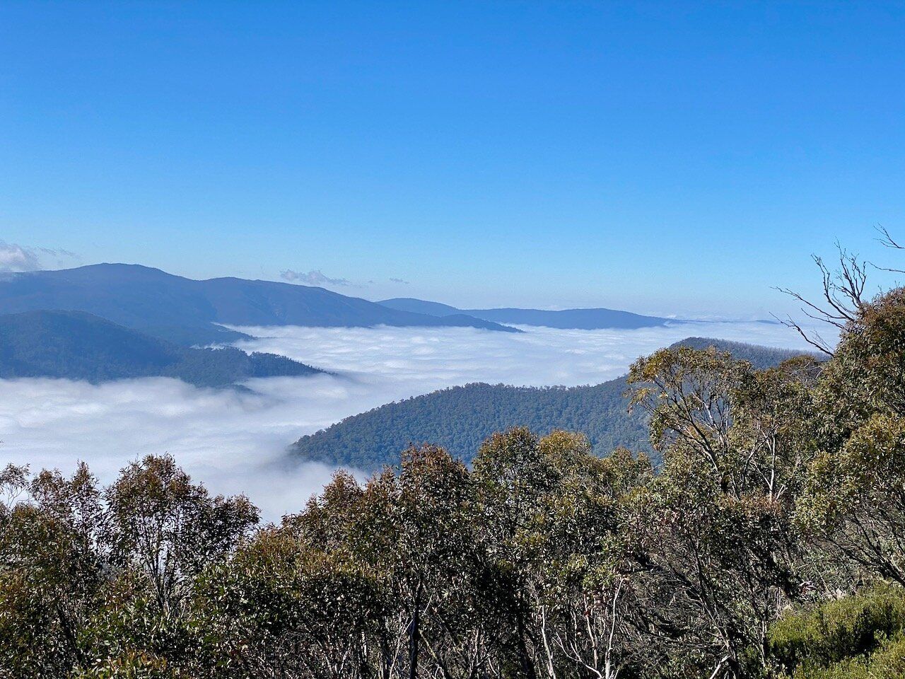
From Warby Corner it was a pretty mellow run down towards Langfords Gap where I knew I would be meeting my support crew. It was mostly downhill on fire trail (with some amazing alpine views) and then a bit more single trail before hitting the Langfords Aqueduct.
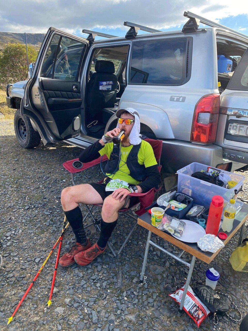
I met my amazing support crew at the Langfords Gap checkpoint, which is about 73km in. I sat down for the first time in nearly 11 hours and spent roughly 10 minutes in this checkpoint, getting in some nutrition and restocking supplies for the next 20km (I planned to meet my crew again at the 93km checkpoint).
I had a list of things I wanted to achieve at each checkpoint. This list included things like filling one flask with electrolyte powder, applying sunscreen, grabbing another bag of gels and food, etc.
The next 15km from Langfords Gap were a pretty tough grind for me. It was a combination of fire trail, then tricky single track. I knew I was getting tired at this point, and was focussed on knocking off the kilometers until the Pole 333 Checkpoint. Oddly, once I got off the fire trail and onto the footpad I was able to run a little better for a while, possibly due to the scenery of the high plains acting as a distraction. However, I was also running into the setting sun, so combining visibility with the technicality of the track meant I was walking some sections that were probably quite runnable, but the last thing I needed was to twist an ankle with 20km to go.
I hit the Pole 333 Checkpoint - this is the point where the 100miler runners peel off to do another gentle 61km. I stopped at this checkpoint and had a bit of a chat to the ASAR guys on the checkpoint who were, once again, amazing and asked how I was going and if I needed anything. They had water, but it was really for emergency supplies (as it's a bit of a hike in from the nearest road) and I figured I had enough to reach the next checkpoint at Pretty Valley Pondage.
Leaving the Pole 333 checkpoint I was actually feeling pretty good - it was mostly downhill single track, then a short fire trail climb and from the top of the climb I bombed down the hill to get to the checkpoint and meet the crew before the light completely failed on me (mainly because I didn't want to stuff around getting my lights out 10 minutes out from the checkpoint).
I spent even less time at The Pretty Valley Pondage checkpoint than I did at Langfords Gap - I absolutely demolished a banana, changed into my fleece top and donned the headlamp for the final 7km in the dark. At this point I knew that the hard work was done, and I had a reasonably gentle uphill climb, before a final climb up Mt Mackay.
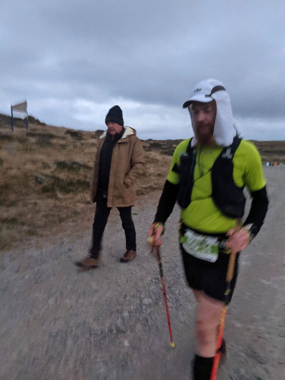
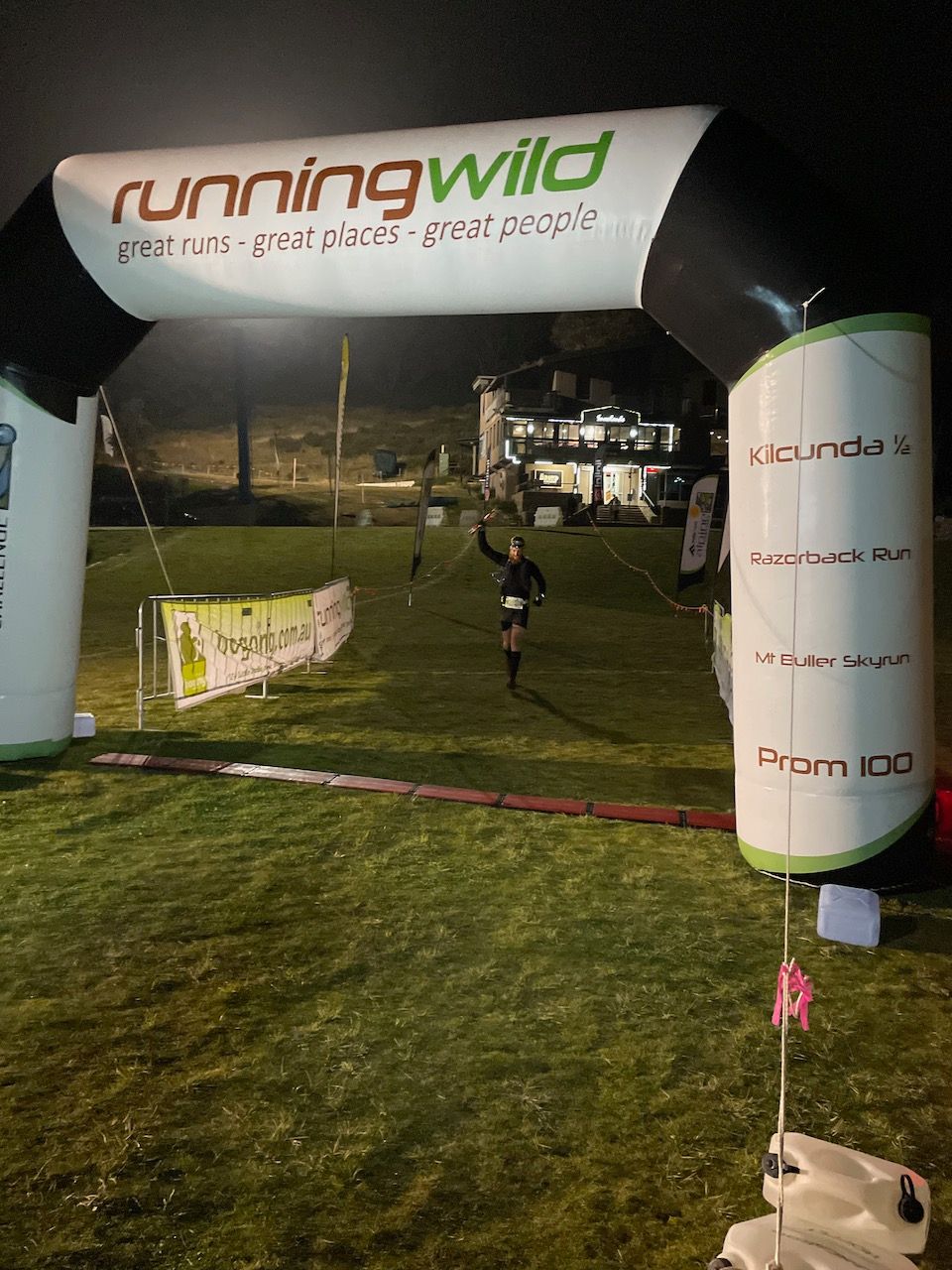
It was a 3-4km slog up a gravel road to Mt Mackay. I took a wrong turn (or rather, didn't turn - despite all the comments about not missing the turn in the course notes) on the way back down, but figured it out quickly and got back on course. At this stage some cloud had rolled in making in tough to see the course markers on the single track section across "the desert" between the Mt Mackay turnoff and the main road, with the fog reflecting the light from my headlamp. Eventually I hit the road again - knowing I was so close to the finish it was running all the way from here, before turning onto the ski run and bombing down the last few hundred metres to the finish line!
As I was descending the ski run I realised I was very close to catching up to another runner - If I pushed really hard I might have been able to catch them (no guarantees though!). I didn't really know which event they were running in, but I'd decided that even if they were running the 100km then they had been ahead of me the whole way, and there was no point me overtaking in the last 400m. They deserved that position.
As it turns out, this was the person who came second in the 100km - he had taken a wrong turn back near pole 333 which was the only reason we ended up so close to each other, otherwise he would've been miles ahead of me.
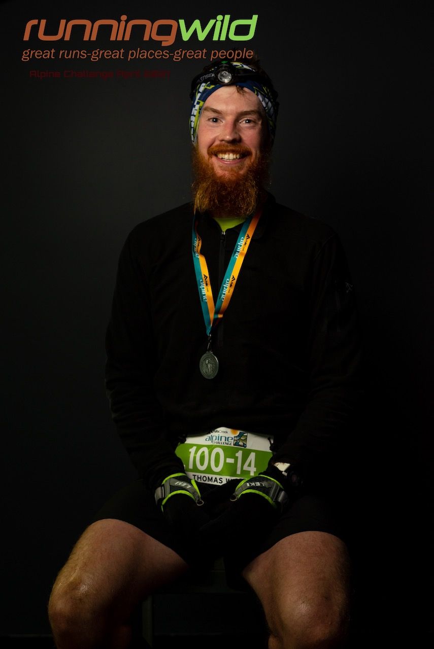
I came down the finish line, in the dark, to finish in 3rd place in a time of 14:58:30. I'm very happy with this result. My goal time was about 15 hours, and for my first 100km I couldn't be happier with the outcome.
Overall this was an amazing experience. I put a lot of training in prior to the event, and it's nice to see that it paid off. Although I had the occasional issue, overall I think everything went very smoothly which isn't always the case for these distances. The event was run very well, so it's truly a credit to the organisers, the volunteers, the ASAR crew and anyone else involved in running the event.
The perfect weather certainly helped, and having my support crew made things mentally so much better. I can't thank them enough for spending so much of their time supporting me while I run around the mountains like an idiot.
As for what's next - I've signed up for and qualified for the Great Southern Endurance Run (GSER) 100 mile event in November 2021. Very excited to see what that event holds!
Strava link for this is here.