A weekend running in the Snowy Mountains
A weekend spent running in the Australian Alps. We spent two days camping and running around the Guthega area in Kosciuszko National Park. With runs up to Mt Twynam, the Munyang Aqueduct and the Rennix trail, it was a tiring but great weekend!
Video is now on YouTube and Vimeo:
Coming up toward the end of last year, I really wanted to get out for a weekend and had had the idea of spending a couple of days down in Kosciuszko National Park doing a few runs up in the mountains and basing ourselves out of the camper trailer in one of the campground.
I'd quickly planned out a couple of runs that I thought might be interesting. On the drive in, we'd start with the Sawpit Creek trail and Waterfall Trail from the Sawpit Creek day use area for an easy 10km in the morning, then go set up camp at Island Bend and have some lunch. In the afternoon, we'd drive up to Guthega, and from there head down the Illawong Trail before crossing over the Snowy River and seeing if we could make the summit of Mt Twynam - an out and back that would see us retrace our steps back to Guthega.
Saturday Morning we would head up to the Guthega Power station for a bit of a trip up the Munyang Aqueduct, stopping to check out three of the alpine huts in the area, and then looping back down the other side of the Munyang River. After that run and second breakfast we'd pack up and start to head home, but not before popping into the Rennix Walking track for a 12km out and back before heading home.
We left pretty early on a Friday morning (it was forecast to be a little warm, so better to get started early), hooked up the camper trailer and made our way down towards Jindabyne stopping into Cooma for a refill of caffeine.
A fairly uneventful drive saw us arriving at Sawpit Creek at around 8AM. We transitioned to running shoes, applied sunscreen and headed off on the first run of the weekend. Sawpit Creek has a couple of walking track loops that can be done from either the campground or the day use area. We started with a short loop to check out the area, and then ran back through the carpark and headed off up the waterfall loop to make the total distance closer to 10km.
During the first loop we added small out-and-back section to go check out another little waterfall. This track links up with the Thredbo Valley Trail at the Gaden Trout Hatchery after 3 or 4km, but that's not what we were doing today, so we head back and complete the loop before heading back out on the Waterfall Loop.
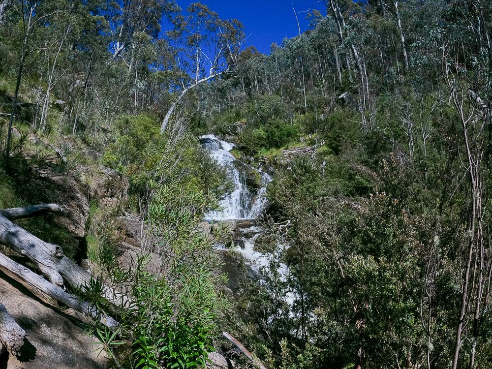
The Waterfall Track is a pleasant walking track that gently climbs up towards an actual waterfall (which was running quite well after the rain we've had). After spending a few minutes taking in the scenery, we continued along the track which loops back down the other side of the creek and back to the carpark.
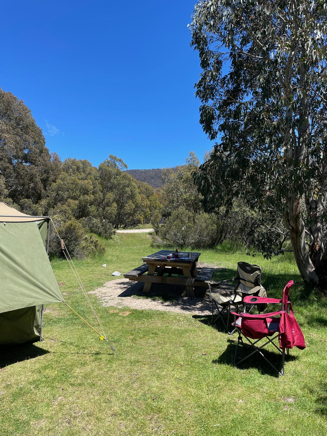
After nearly driving off with my running shoes still on the back of the car, we head off further up the mountain to setup camp at the Island Bend campground and get some lunch in before the next run, which we would do later that afternoon.
In the early afternoon we headed a little bit farther up the road to Guthega Village for the start of our next run. I was looking forward to this one and the plan was that it would take us out along the Illawong track, before crossing over the Snowy River at a suspension bridge, and hopefully heading up toward Mt Twynam. I wasn't entirely sure if we would make it all the way up to the summit of Twynam, but I wanted to give it a go.
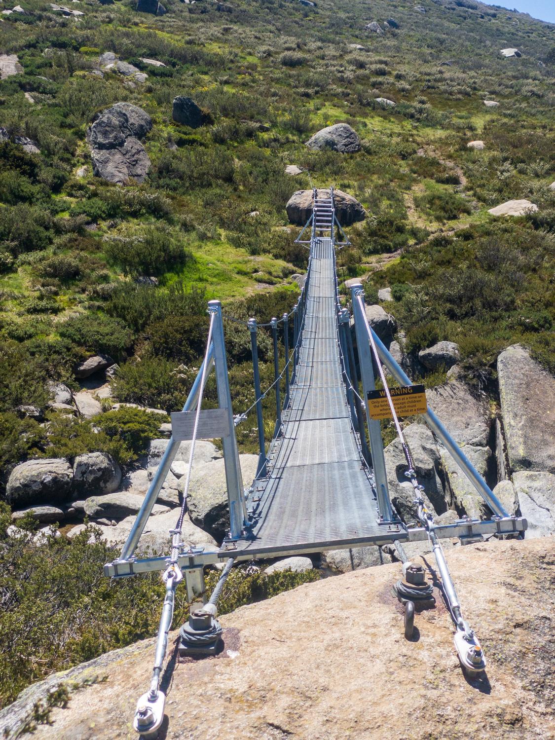
The Illawong Track is a great little track, though it's only quite short. It runs from Guthega out to the Illawong Lodge, but from the lodge it's possible to cross the Snowy River via a suspension bridge and access the Main Range.
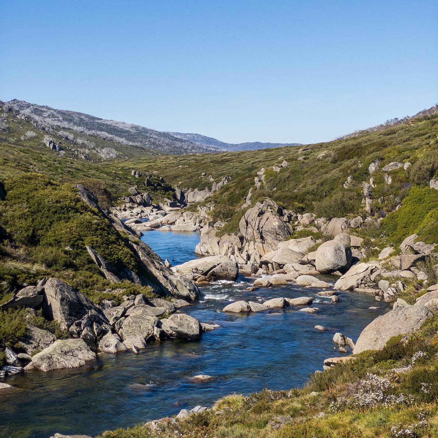
We start off from the trailhead out the back of Guthega Village and start making our way past the Guthega Pondage and further up the river, with a few deviations due to some upgrade works taking place on the track. The first few kilometres of this track provide some great views across the Guthega Pondage, and views looking along the river.
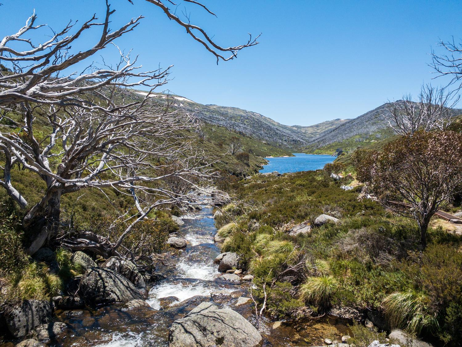
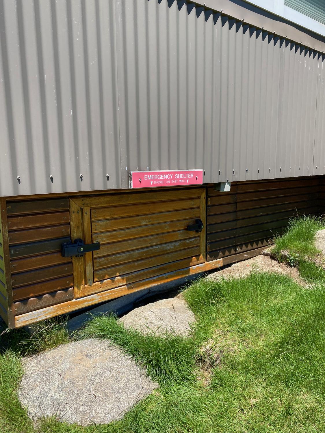
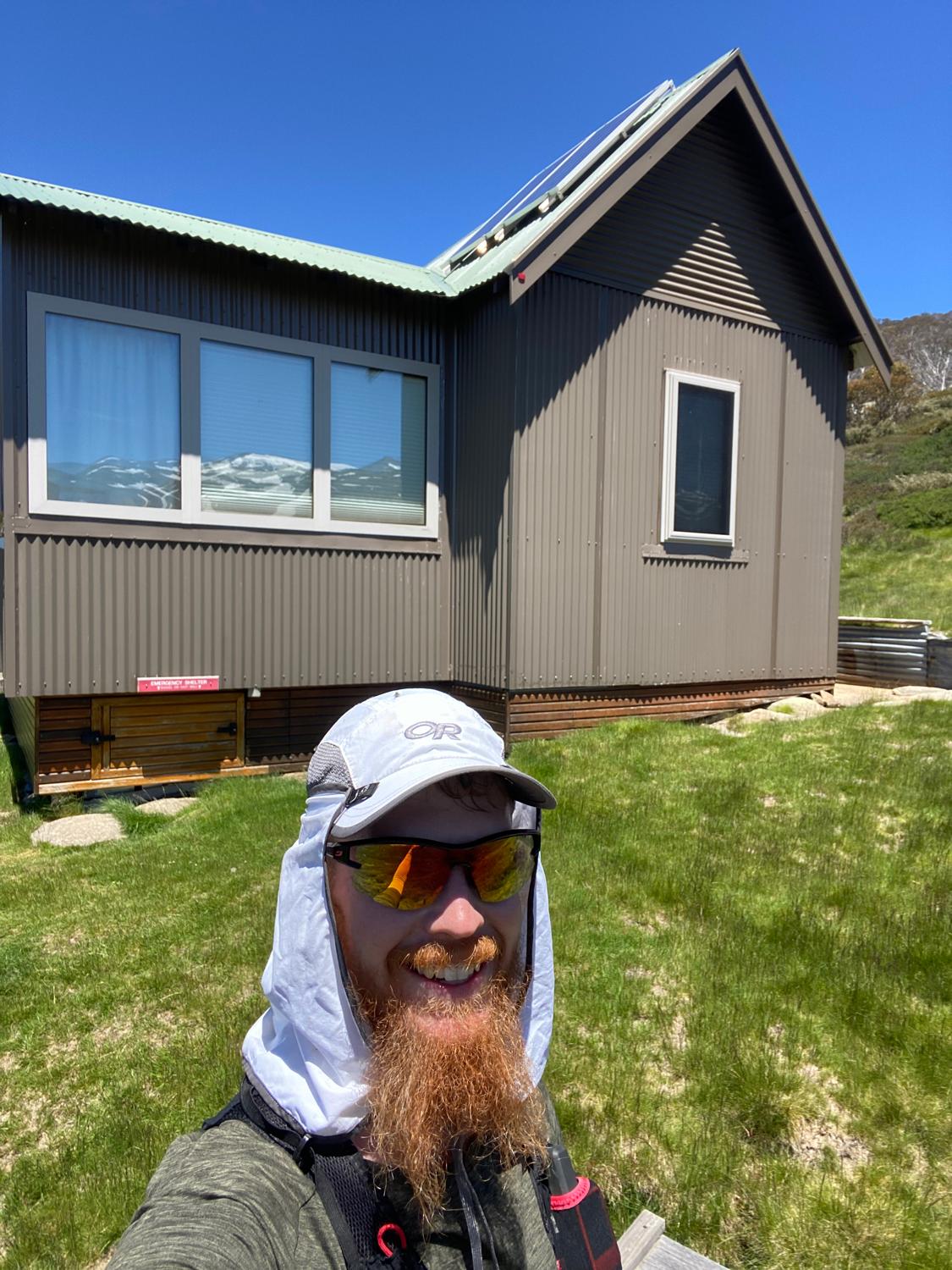
After 2.5KM the Illawong Track itself ends at the Illawong Lodge. The Illawong Lodge is a well setup hut that can be booked for accommodation, and also provides an emergency shelter for the winter months.
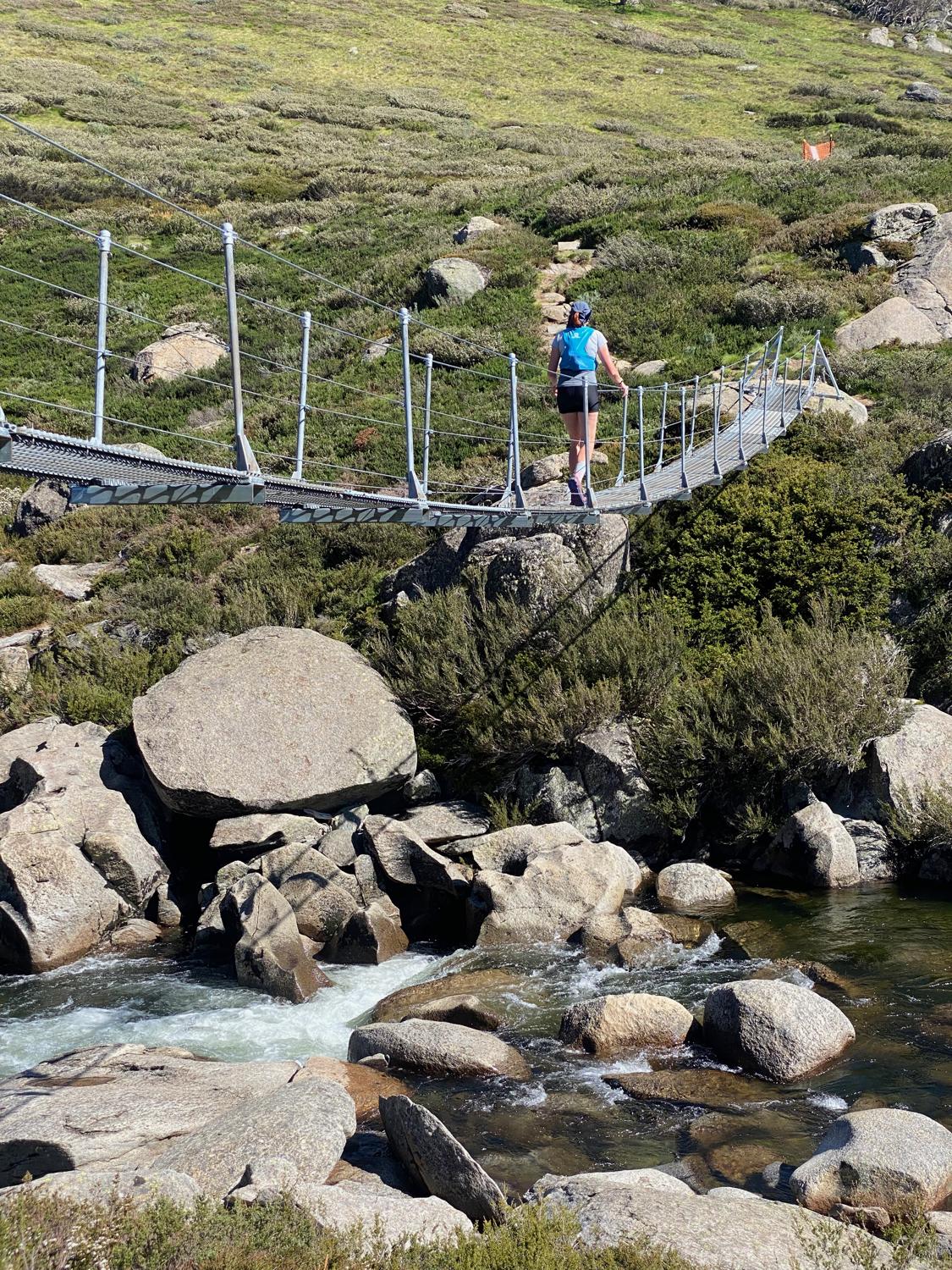
Just down from the Illawong Lodge is a suspension bridge that can be used to cross the Snowy River and access the Main Range. It's a fairly narrow bridge for one person at a time, but it does the job and makes getting across the river super convenient.
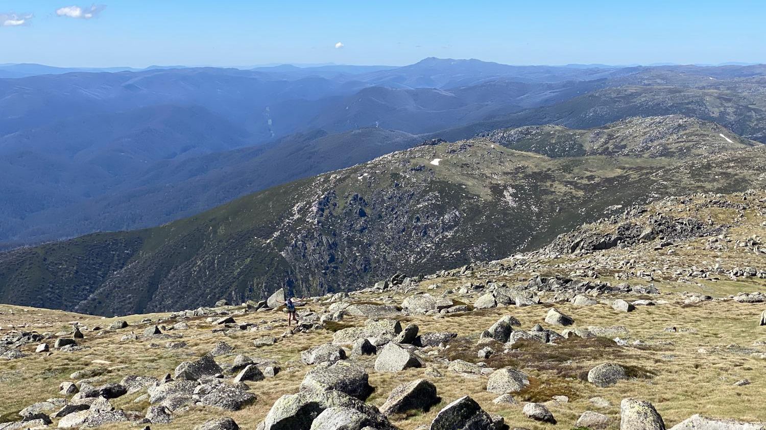
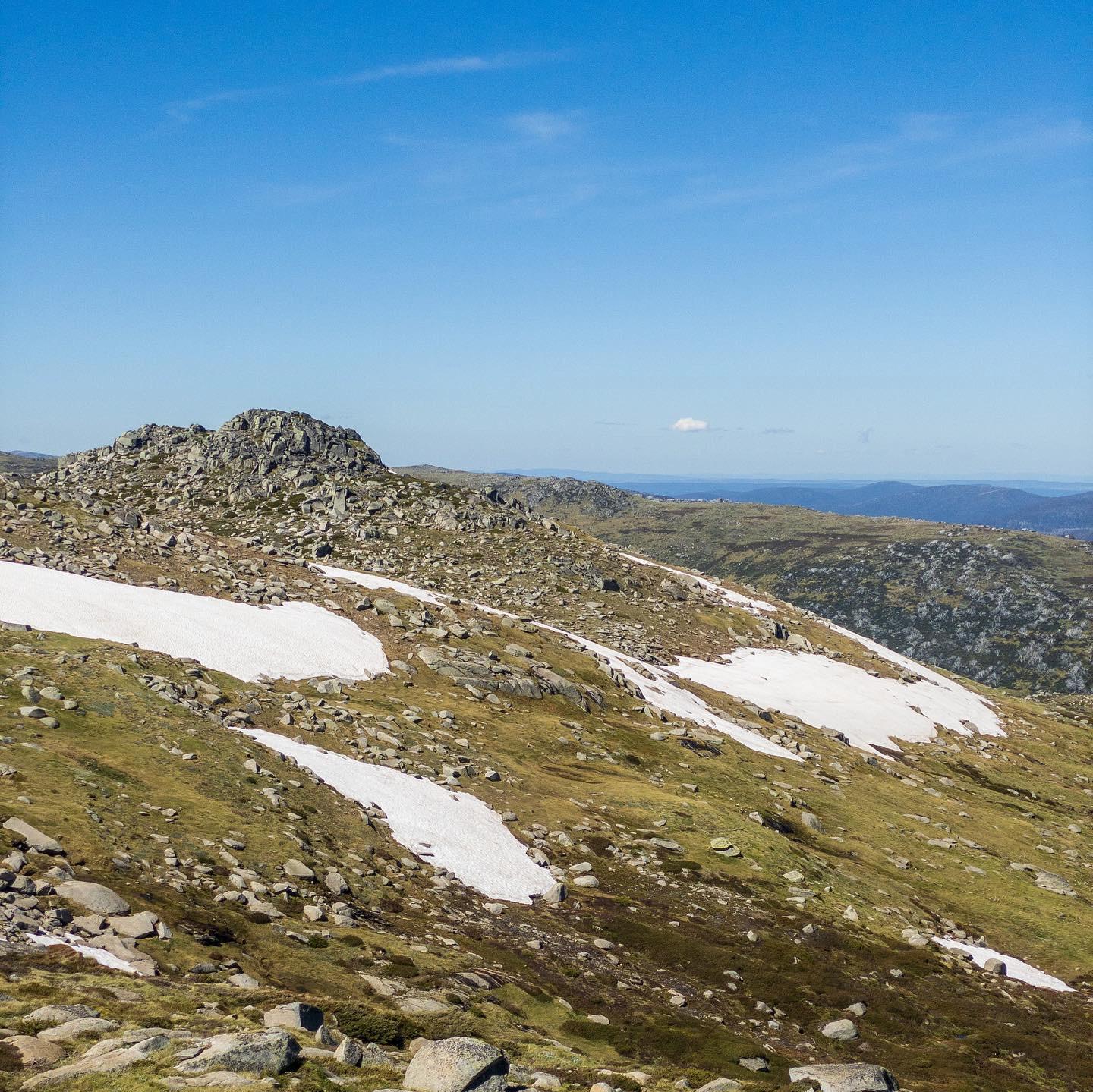
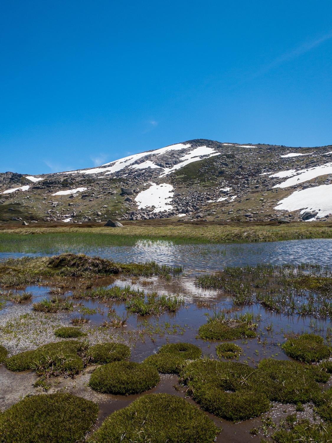
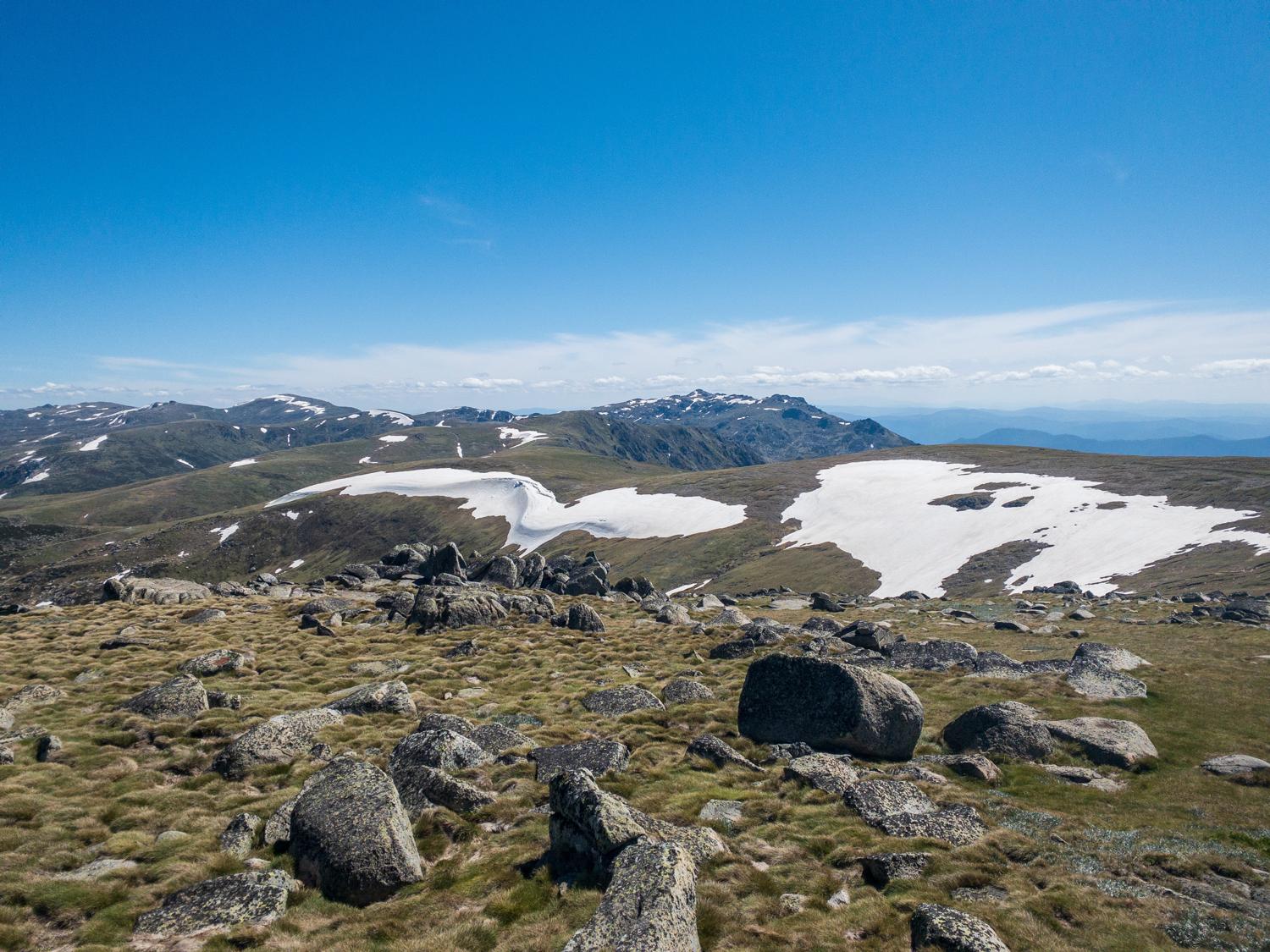
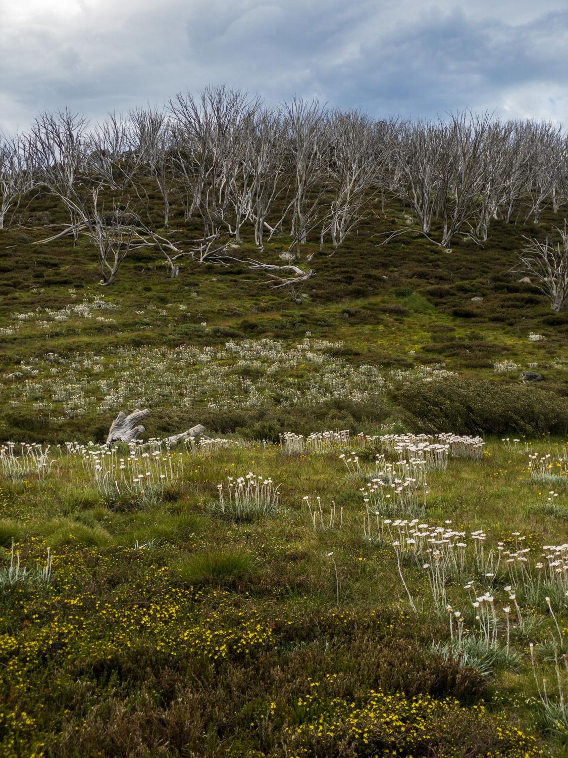
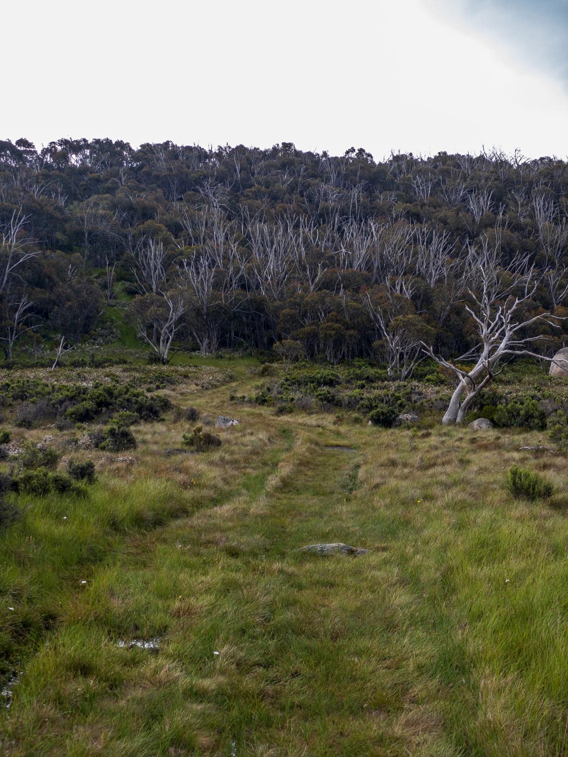
Once on the other side of the river the track seems to be quite a lot less well defined, but it's still an easy-to-follow footpad. From hereon out it's climbing basically all the way to the top of Mt Twynam. There are some wildflowers around at the moment, and it's mostly hiking all the way up so plenty of time to take in the views. Even though it's December there are still some decent patches of snow around.
At one point we hit a small lake and the footpad just seems to disappear... After some consultation with the map it should continue up and intersect with another track, but it doesn't seem to be anywhere (in hindsight - possibly hidden by a sheet of snow). So we head straight up the hill via the most direct route and locate the footpad of the other track... We still have no idea what happened to the footpad we were following, but this is the track we want anyway so that's a win!
At this point things have been a little slower than anticipated, but it's December and we've still got plenty of light on our side, so we decide to push on. As we get up into the saddle and the climb starts to level off, it becomes apparent that the track we're on is starting to head away from Mt Twynam. This wasn't entirely unexpected, as the maps have no marked track to the top of Mt Twynam (the track on the map skirts around the peak) so, we just head cross country straight for the top. It only takes a few minutes before the marker at the top of Twynam becomes visible!
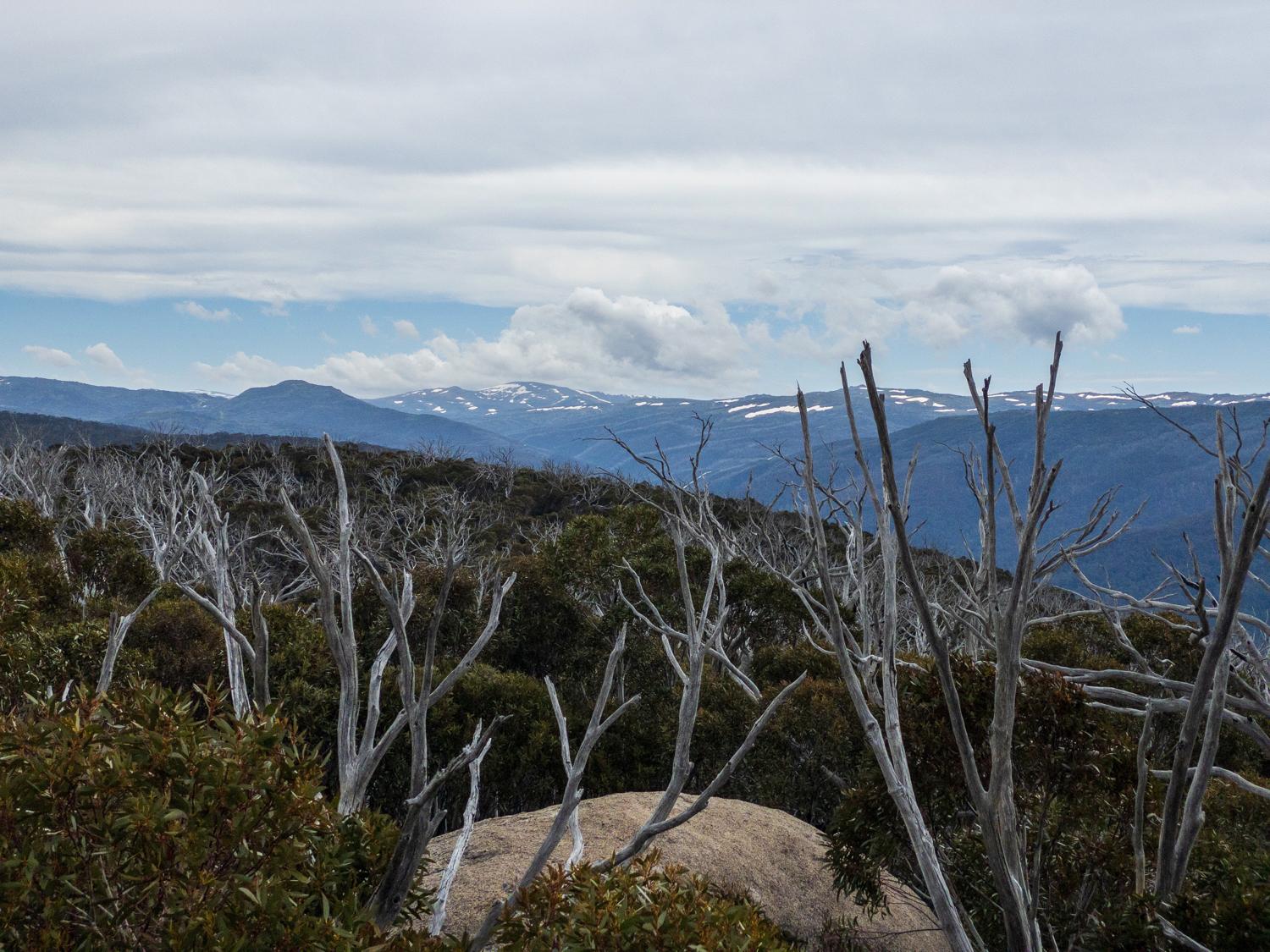
A final few metres and we get to the top of Mt Twynam, the third-highest peak on mainland Australia - amazing views all around from here, you can see across the Main Range, and can see where the Main Range trail snakes its way across toward Kosciuszko.
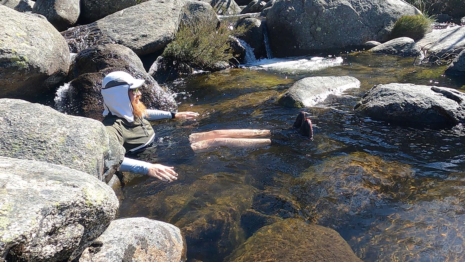
All that's left to do now is run back down! This is the really fun part; we head back to the footpad and then start bombing back down to the river, sliding down the snow patches and just generally having a good time (although there was one moment where I missed a turn and ended up knee deep in water...). We reach the suspension bridge and cross back over again, then take it easy on the track back to the car, but not without a cheeky dip in the river to cool off!
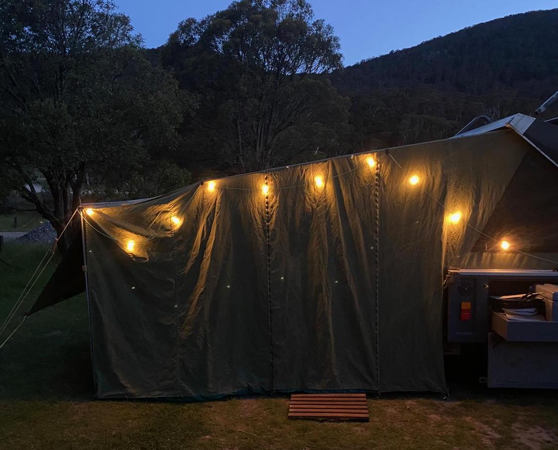
From here it's back to the campsite to setup the shower, light the fire, then cook some dinner and just generally kick back and relax. The runs tomorrow are a little bit longer and steeper, but should be just as exciting. It's quite a pleasant night (and no phone reception!) to just chill out for a while.
Of course, things don't always go to plan. At about 3AM the wind starts to pick up and in the late evening / early morning it starts to gets quite ferocious. We have the trailer setup in a reasonably sheltered spot, and the direction of the wind means that the hard top of the trailer is copping the brunt of the gusts rather than the tent (I'd like to say I planned that...), but it's still really difficult to sleep amongst the flapping of the canvas and general wind noises.
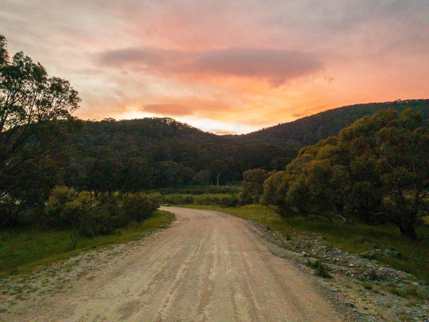
The sunrise is pretty good, however:
Eventually it's time to get up - even if it is a little later than planned - and the wind is still blowing. We have some breakfast, get the running gear on, and then head back up the road to Guthega Power Station.
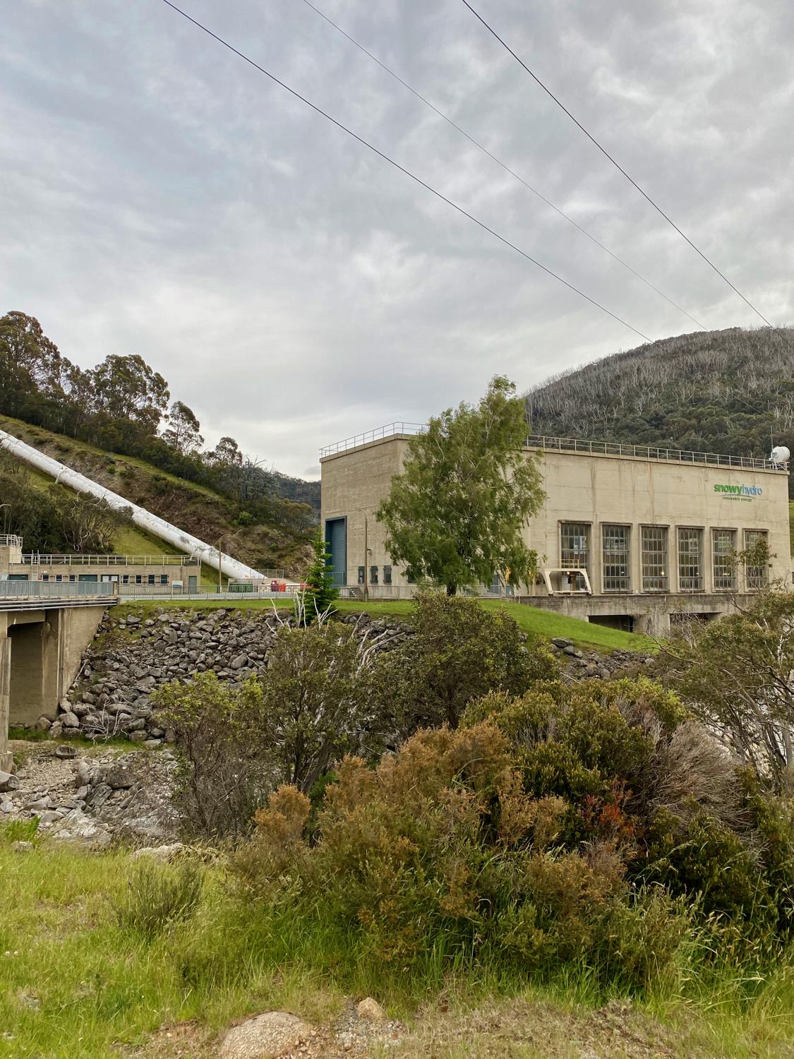
The run today is one I planned by taking a couple of parts map, and a couple of parts other people's Strava activities and mashing them together. It should take us up one side of the Munyang River (which joins the Guthega River at Guthega Power Station), along the Munyang Aqueduct taking in three different huts - Horse Camp Hut, Whites River Hut, and Disappointment Spur Hut.
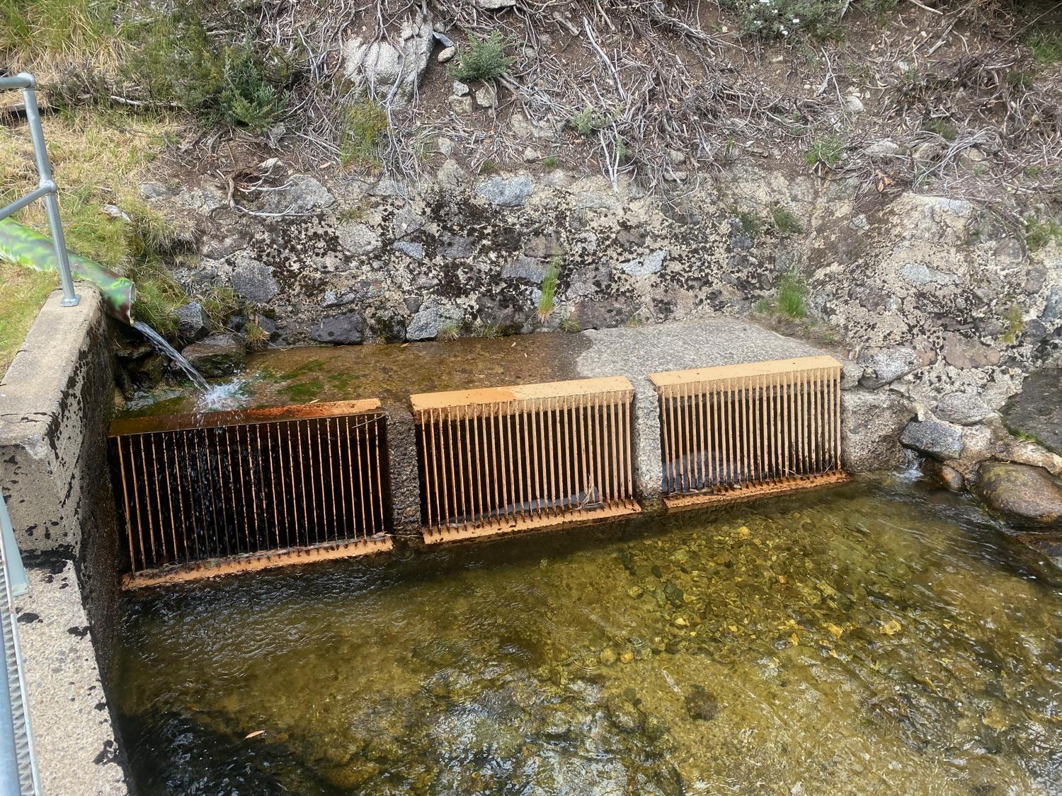
The Munyang Aqueduct collects water from the surrounding mountains and feeds it into the surge tank above the Guthega Power Station. There are several such aqueducts around the mountains serving the Snowy Hydro scheme.
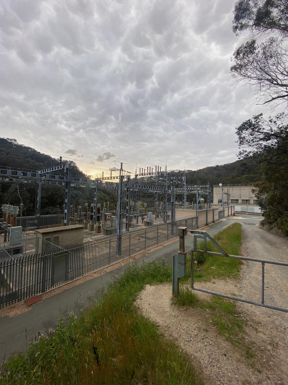
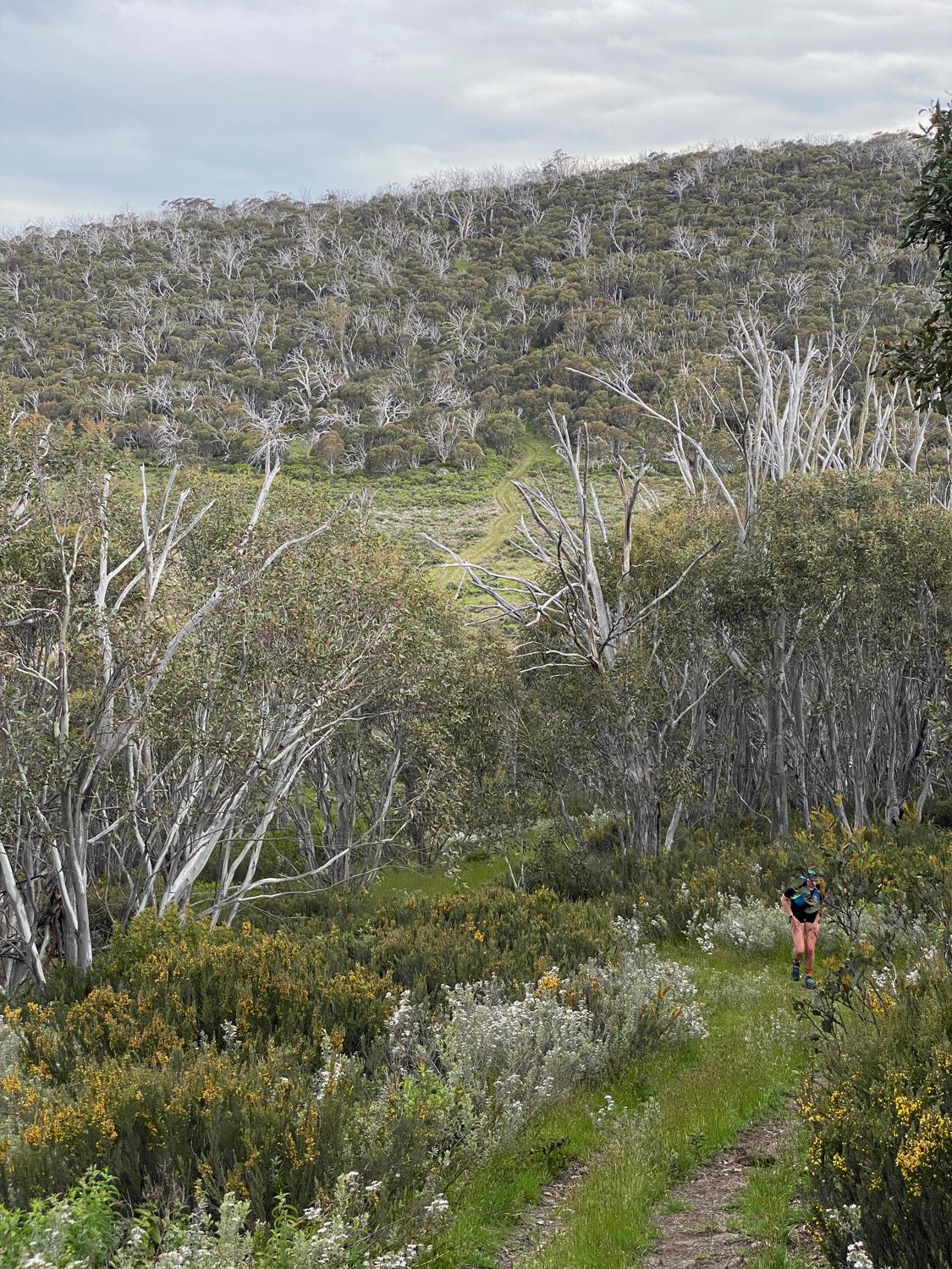
It's a cold start, but at least it's not raining! We start off from the power station and hit Schlink Pass Road. We're both a bit tired from yesterday, and the poor sleep overnight, so it's a fair bit of hiking up the fire trail to begin with, eventually joining up with the aqueduct trail near the top of the Guthega penstocks. From here we turn and start following the aqueduct uphill.
Being an aqueduct means that the slope isn't too high and it's mostly runnable.
We get to the turnoff to Horse Camp Hut and head downhill a few hundred metres to check out the hut. A few hikers had camped out in the hut, so we admired it from the outside, then head back up the hill.
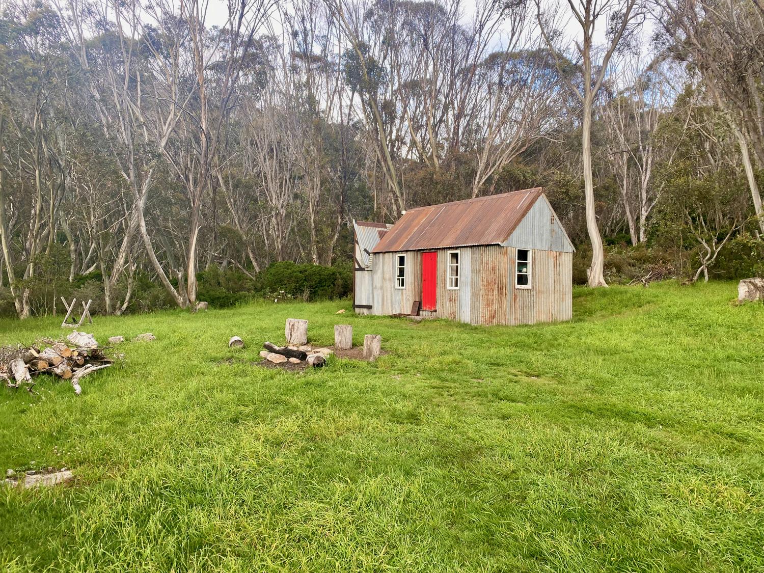
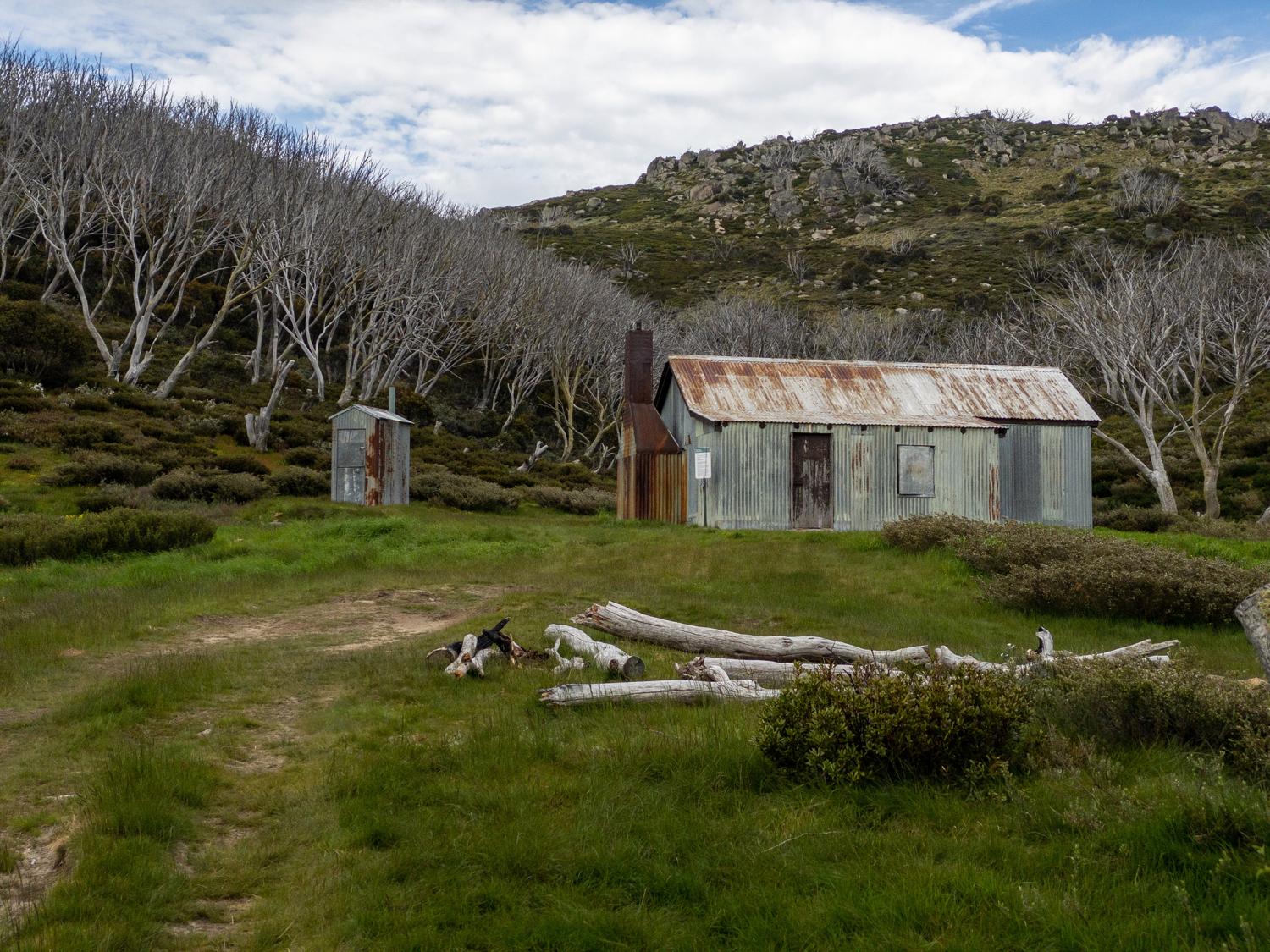
Continuing up the Aqueduct trail we eventually reach what is effectively the start of the aqueduct, marked by a small weir and a locked hut. It's at this point we rejoin a more substantial road, and head up the hill to Whites River hut.
Whites River Hut is a hut set amongst some glorious scenery on a small plain. A Snowy Hydro weather station is also situated not far from the hut.
I had in my mind to try to reach one of the peaks nearby, but it's taken longer than anticipated to get to this point and the weather isn't great, so we decide to leave that for another day and head back down.
So, we leave the hut and begin making our way down the other side of the Munyang River, toward Disappointment Spur. The plan is to make our way down Disappointment Spur to avoid retracing our steps down the aqueduct or just down the road. However, not too far down the road we encounter a sign:
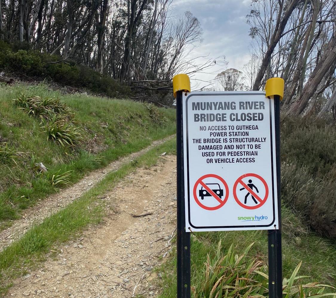
Which actually makes perfect sense, because I don't recall seeing a bridge to cross the river back at the power station. After some deliberation we decide to continue on - I'm fairly confident that the river levels are low enough that we could cross. If not, it will be a longer run than planned as we will need to head back up the hill to cross up here.
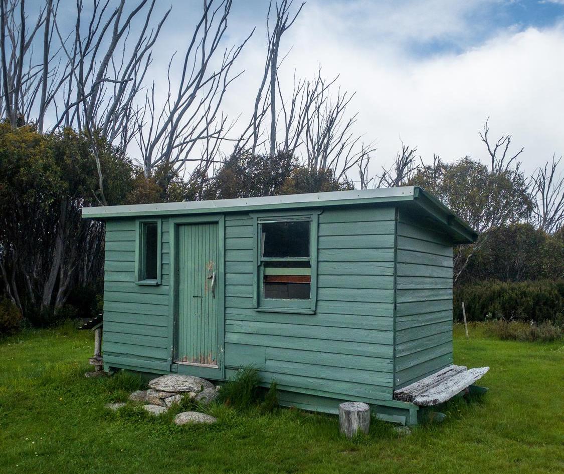
So off we go - bombing our way down the Disappointment Spur trail (it's nice to have some downhill for a change) with a stop in to check out the rather cosy Disappointment Spur hut:
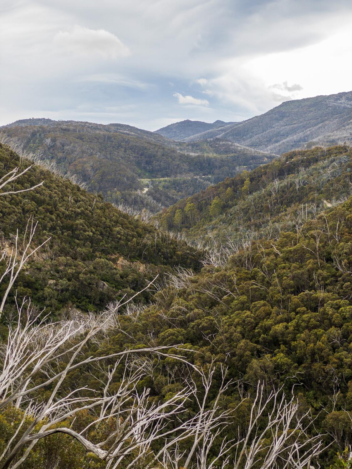
And to check out the views:
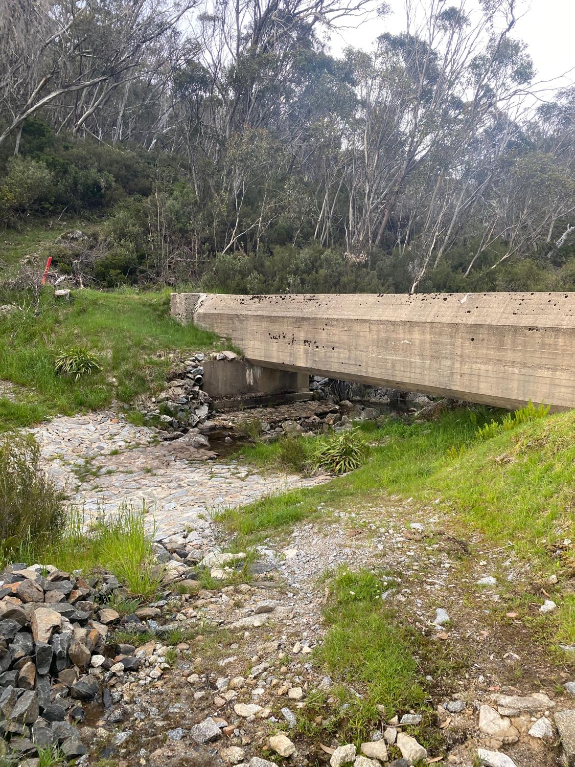
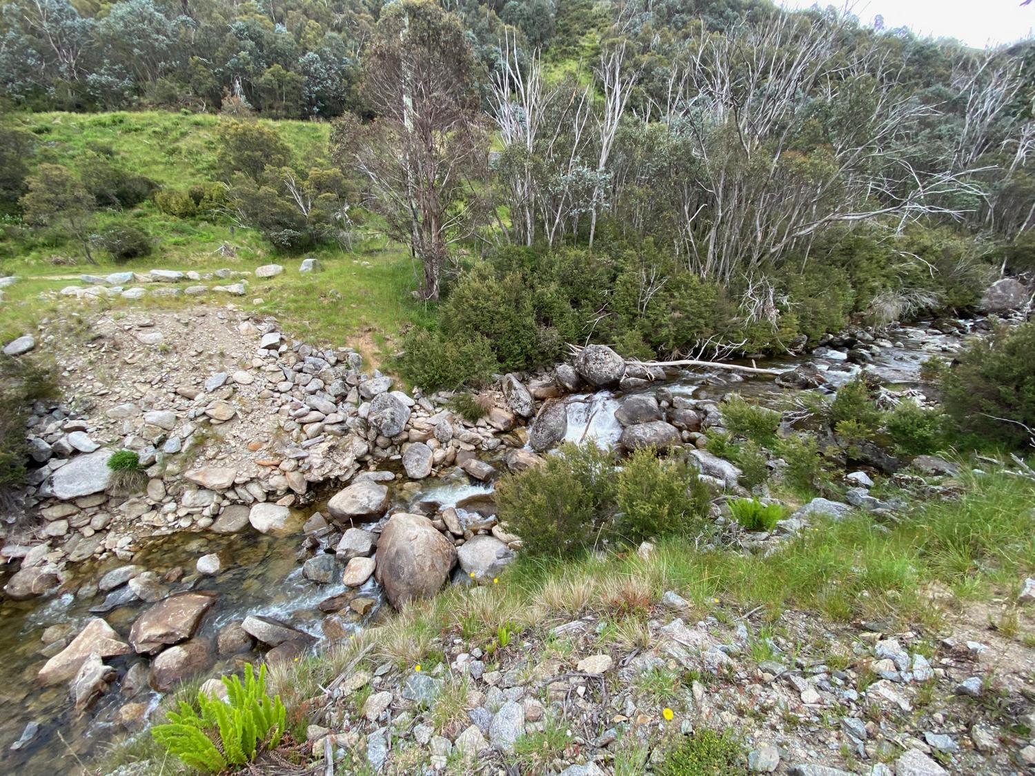
As we get closer we get some glimpses of the Munyang River, and it becomes pretty obvious that the levels will indeed to be low enough to cross - even if we have to get wet feet, we can still cross. As it turns out, wet feet won't be necessary as there are plenty of rocks to hop across where the bridge use to be.
Crossing the river pretty much marks the end of this run as we head back through the power station and to the car. Now it's back to the campsite for second breakfast and to packup the tent! At least by now the wind has died off a little bit, which makes packing up slightly easier.
Once we've had second breakfast and packed up, we hook the trailer on and head out from Island Bend to start making our way home, but with one more run left. We've passed the Rennix Walking Trail many times on the drive up and down the mountain in the winter, so it should be a good way to finish off (it's also one that is just off the road so easy to park with a trailer).
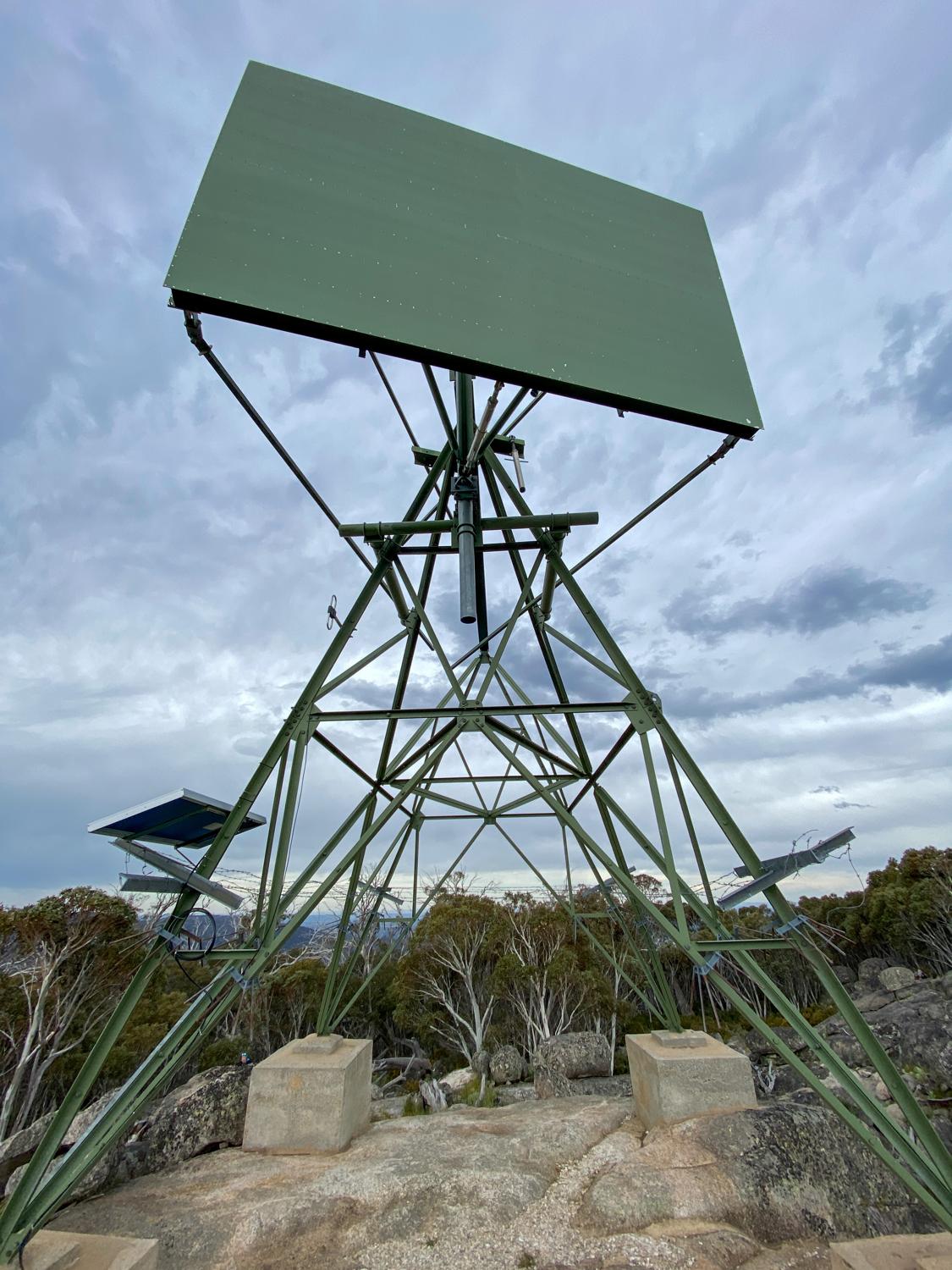
The Rennix Walking Trail is a 12km return out-and-back track through subalpine meadows up to a rocky outcrop (called Giants Castle) which hosts a Snowy Hydro radio reflector. Starting in an alpine bog means wet shoes basically from the start, but we head off up the hill - feeling somewhat fatigued from the last few runs as well as the lack of sleep. There are some wildflowers starting to bloom in some places, which makes for a pretty track.
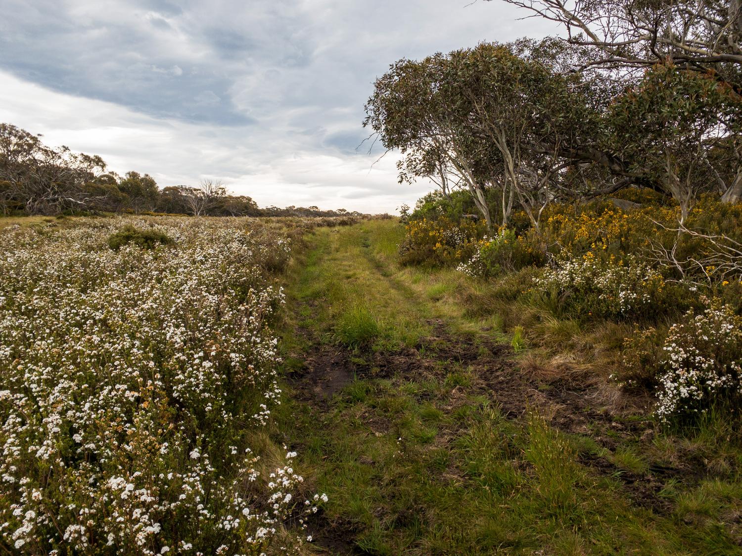
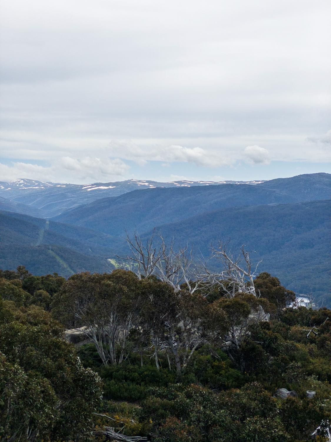
Whilst the track isn't terribly difficult, it does traverse several small ridgelines, which combined with the wet and boggy landscape underfoot can make it feel like it's harder work than it really is. However, there are some great views along the way.
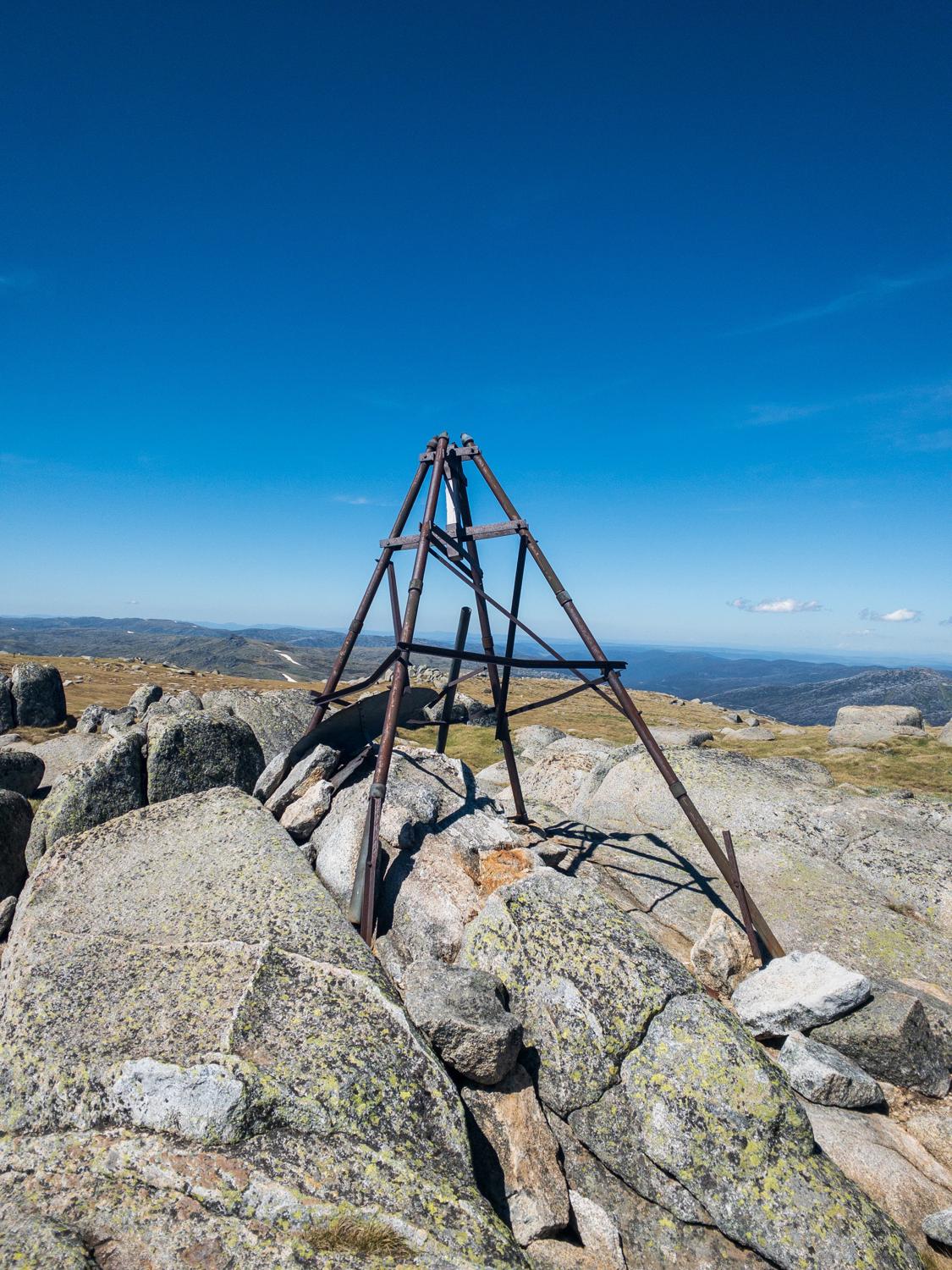
The track passes a trig point not far from the end, which in the wind we could hear the creaking of the metal before we saw it. Making a mental note to check that out on the way back, we do the last few hundred metres up to the radio reflector. This marks the end of the track, and provides some good views back over toward Island Bend and the main range.
However, it's cold and windy up here so we don't hang around too long. We have a quick snack then we start to head back, stopping in at that trig we saw earlier (which is a scrubby off-track traverse to get to). Then it's retracing our steps back over the ridgelines and through the bogs, which at least on the way back is slightly easier as it's a general downhill trend, and eventually we can see the outline of the road. It's been a pretty full on, but fun, weekend and we're both tired, so it's nice to be finishing!
The end of the Rennix Walking Track marks the end of the running on this trip, and with filthy feet from the bogs we get changed in the carpark before starting to make our way home - with a stop in Jindabyne for some lunch. The Snowy Mountains always provide an amazing playground for all sorts of sports, whether you're running, skiing, hiking, cycling or any other sport.
Another great weekend in the mountains!